{Click on any image to view full size, then use the back button on your browser to return to this page}
This page last updated on 03/02/2019
 |
| (Fig. 01) |
Directions: For today's visit, from Henderson, we took the I-215 and drove out to the Red Rock Casino, taking exit 26, to Route 159, W. Charleston Road. At the exit we turned left and headed west. We drove until we reached Sky Vista Drive. Drive on this road until you reach Alta Drive (on the right) and turn left and head into the desert on the dirt road.
 |
| (Fig. 02) Click to Enlarge |
Description of Area: As noted on the summary page, t
here is almost nothing written on the Internet about this area. The Howard Hughes Corp. owns this piece of land that is dotted with ancient Indian sites on the edge of the Red Rock Canyon National Conservation Area. The Howard Hughes Corp. has set aside 75 acres that contain petroglyphs and other cultural resources and 200 acres along a series of dry washes. In addition to petroglyphs, there are also ancient shelters, roasting pits used by ancient Indians for cooking and pottery shards, some dating back 1,500 years. Over the past several decades there have been numerous instances of damage to the petroglyphs and the area. As you can see from (Fig. 02) this area is filled with dozens of ATV trails created by the thousands of visitors to this area over the past several decades.
 |
| (Fig. 03) |
 |
| (Fig. 04) |
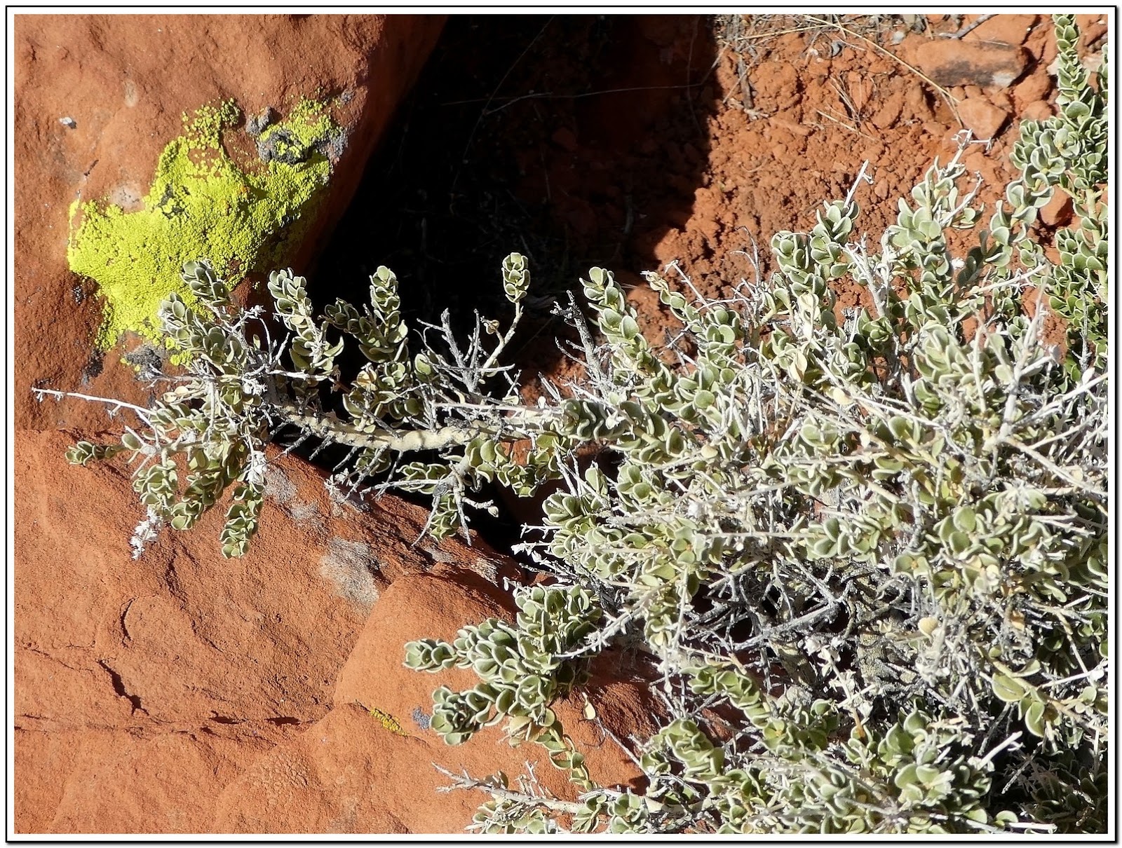
02/28/2019 Trip Notes: On this day, Bob Croke, Jim Herring and I decided to explore this site with the hopes of finding some of the petroglyphs and other signs of cultural resources. The picture of the cloud-covered Wilson Cliffs in (Fig. 01) was captured about a mile up Sky Vista Drive on our approach to the entry area. The yellow lines on the map in (Fig. 03) shows the route we drove for this visit. Obviously, there is much more to see in this area. Except for taking pictures, we only ended up getting out three or four times to hike around and explore on foot. Which is probably why we didn't end up finding any petroglyphs. Obviously, we will be coming back to this area for a more detailed look. The area on the map in (Fig. 03) labeled "beehives" is an area that we hiked around at the beginning of the visit (Fig. 05). Jim wanted to hike this area and to take pictures. We thank you for this; we all got some great pictures. We named this "beehives" because it reminded us as similar to those found at the Valley of Fire State park (Fig. 04). As we hiked around this area, the more geologic shapes we found (Figs. 06, 07 & 08). The more we hiked (Fig. 09), the more colorful images we discovered (Figs. 10 & 11). Opposite this area, looking mostly north, we could see a huge wash and the tops of the main red rock outcrop (Fig. 12). (Notes continued below)
 |
| (Fig. 05) |
 |
| (Fig. 21) |
|
 |
| (Fig. 22) |
|
 |
| (Fig. 23) |
|
 |
| (Fig. 27) |
___________________________________________________
Note: Every attempt is made to provide accurate information, but occasionally depictions are inaccurate by error of mapping, navigation or cataloging. The information on this site is provided without any warranty, express or implied, and is for informational and historical purposes only.