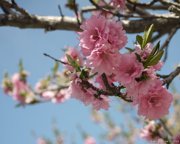
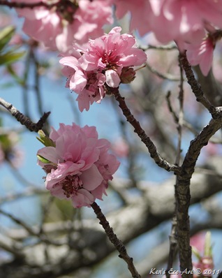
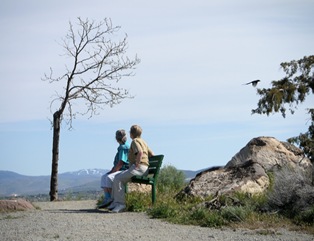
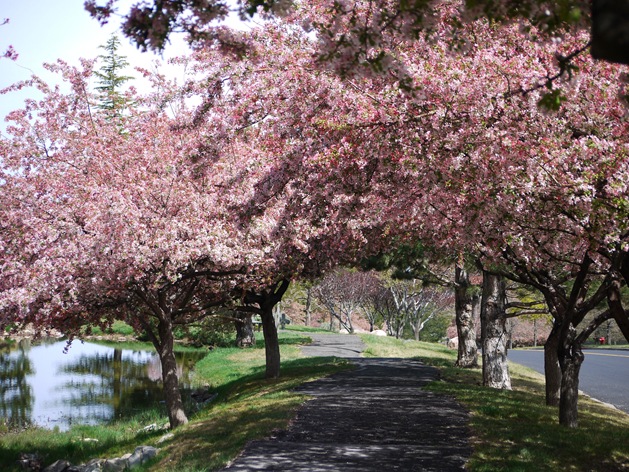
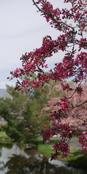
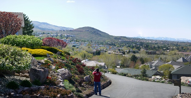
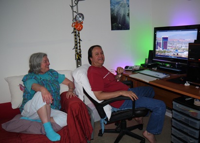
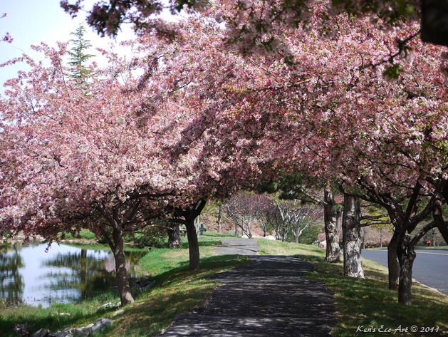
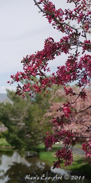
I took these pictures on 05/05/2011 while visiting my sister in Reno. On an afternoon driving around their neighborhood in the southwestern portion of Reno we came upon a street that was lined with the what I believe were several varieties of gorgeous flowering cherry trees. As there are literally dozens of genus of this tree, it was hard to pin down. If someone has a better identification, please email me at kccandcj@yahoo.com | ||
| ||
Monday
Flowering Cherry 'Pink Perfection'
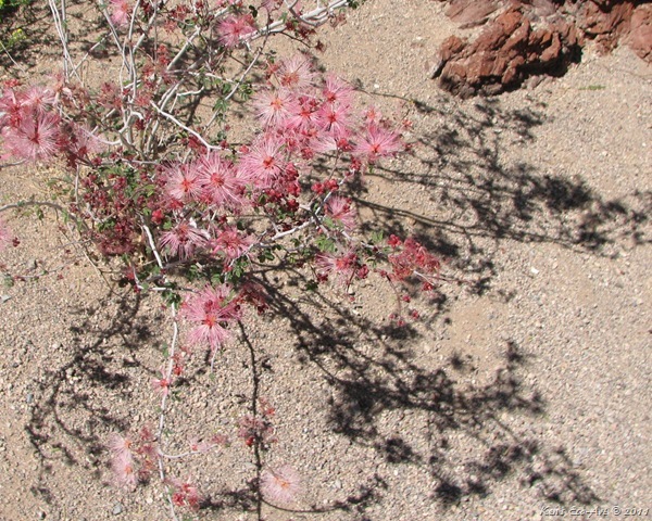
Sunday
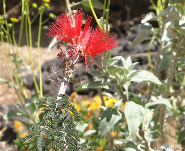
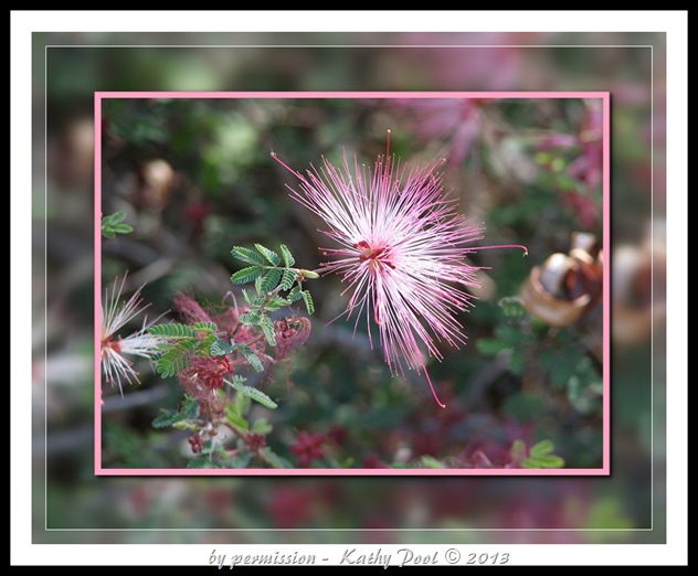
Baja Fairy Duster (Calliandra californica)
Thursday
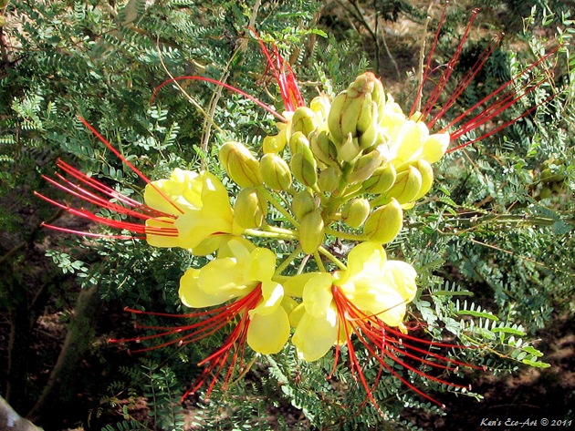
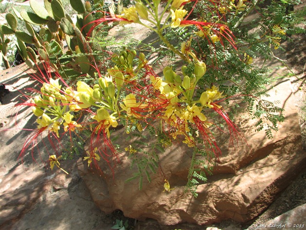
Bird of Paradise Yellow (Caesalpinia gilliesii)
I took this close-up of a Yellow Bird of Paradise in full bloom sometime in mid summer of 2009 on one of our morning visits to the pool. There are a couple of these beautiful shrubs on the Legacy Golf Course side of the fence that boarders The Players Club pool area. |
DESCRIPTION: Caesalpinia gilliesii is a shrub in the legume family. Commonly known as Bird of Paradise Yellow, it is not related to the more commonly know bird of paradise genus Strelitzia. It grows to 9-13 feet tall and about 8 feet wide. The leaves are bipinnate, 4-6 inches long, bearing 3-10 pairs of pinnae, each with 6-10 pairs of leaflets approximately 1/4 inches long and 1/8 inches broad. The flowers are borne in racemes up to 7-8 inches long, each flower with five yellow petals with 10 long conspicuous red stamens. This striking, upright, fast growing ornamental plant is native to tropical America, mainly Argentina and Uruguay. It is naturalized in Texas, and fairly common in the rest of the southwestern United States, where it is known as bird of paradise bush, desert bird of paradise, and yellow bird of paradise. Its natural growth habit is irregular and open, but pruning will encourage dense growth. This long-lived and durable shrub is quite tolerant of cold, heat and drought, and performs best in full sun exposures. All parts of the yellow bird of paradise shrub are toxic and should never be ingested. |
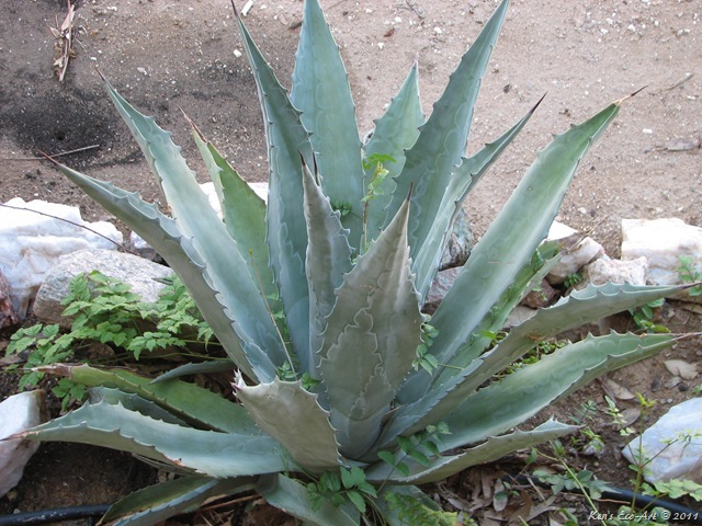
Century Plant (Agave americana)
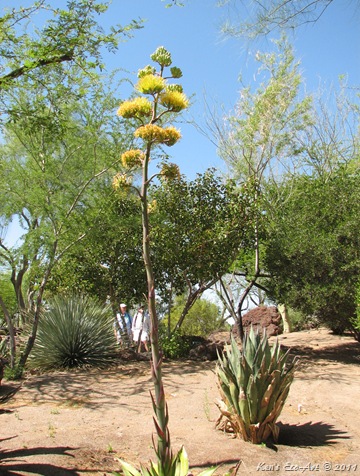
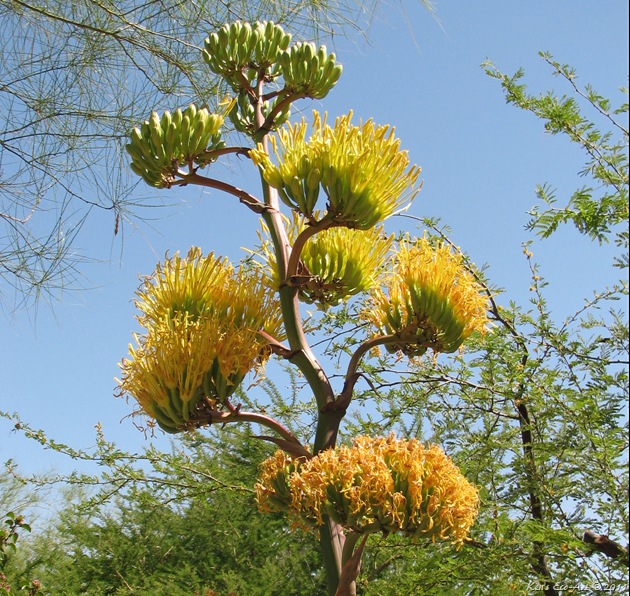
Picture Notes: I captured this beautiful Century Plant (Fig. 01) on a road trip that took me through Nipton, CA back on 07/27/2009. Just outside the Nipton Café and gift shop there is a very un-kept desert garden of varying plants and cactus. This was actually one of the better looking species I found there.
Location Info: Nipton is an unincorporated town in San Bernardino County, California, on the northern edge of Mojave National Preserve, about 20 miles west of Searchlight, Nevada. From the California side, it is about 12 miles east of Highway 15 on Route 163 (Nipton Road), about 65 miles from Las Vegas. It has a population of 20 people.
Description: Century Plant (Agave americana), a.k.a. American Aloe. It is a common misconception that agave's are cacti. They are not related to cacti, nor are they closely related to Aloe whose leaves are similar in appearance. It is an agave originally from Mexico. Chiefly Mexican, agave's can be found in the southern and western United States and in central and tropical South America. They are succulents with a large rosette of thick fleshy leaves, from a greenish yellow to a grayish blue-green, each ending generally in a sharp point and with a spiny margin; the stout stem is usually short, the leaves appear to spring from the root. Its spreading rosette can be up to 13 feet wide with leaves up to 6 feet, each with a spiny margin and a heavy spike at the tip that can pierce to the bone. Along with plants from the related genus Yucca, there are a variety of Agave species, many popular as ornamental plants.
| ||||
| ||||
Sunday
Bumblebee (disambiguation)
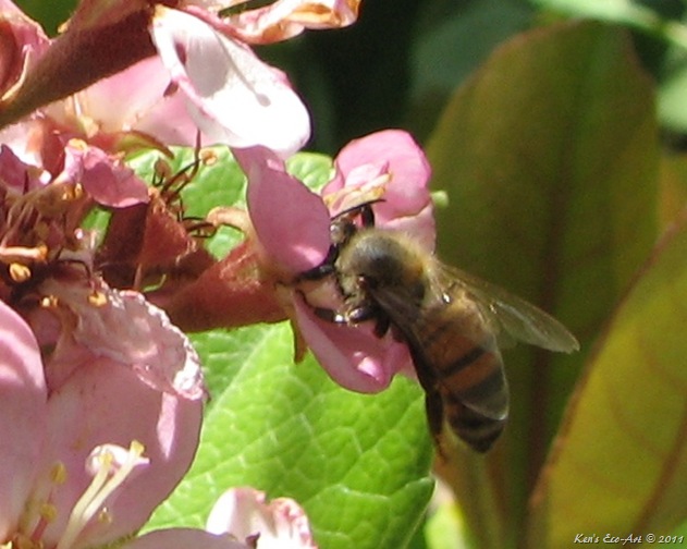
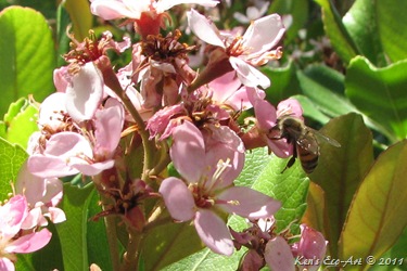
Picture Notes: As spring time is here once again, it reminded me of this picture (above) (cropped from the sot below) (Fig. 01) that I took on a morning visit to our pool back on 04/20/2009. With the exception of ladybugs and butterflies, bumblebees are perhaps one of the only insects that almost everyone likes. Maybe because they almost always stick to their job of drinking nectar and gathering pollen, and very rarely attack. They are large, hairy social insects with a lazy buzz and clumsy, bumbling flight. Most of them are black and yellow, though some are all black.
| ||
| ||
Their most obvious characteristic is the soft nature of the hair (long, branched setae) called pile, that covers their entire body, making them appear and feel fuzzy. They are best distinguished from similarly large, fuzzy bees by the form of the female hind leg, which is modified to form a shiny concave surface that is bare, but surrounded by a fringe of hairs used to transport pollen. In similar bees, the hind leg is completely hairy, and pollen grains are wedged into the hairs for transport. Like their relatives the honey bees, bumble bees feed on nectar and gather pollen to feed their young. Bothe queen and worker bumblebees can sting, tough you don't often see stings as bumblebees are reluctant to use them.
One common, yet incorrect, assumption is that the buzzing sound of bees is caused by the beating of their wings. The sound is actually the result of the bee vibrating its flight muscles, and this can be achieved while the muscles are decoupled from the wings — a feature known in bees but not other insects. This is especially pronounced in bumblebees, as they must warm up their bodies considerably to get airborne at low ambient temperatures.
| ||
Mother’s Day - 2011
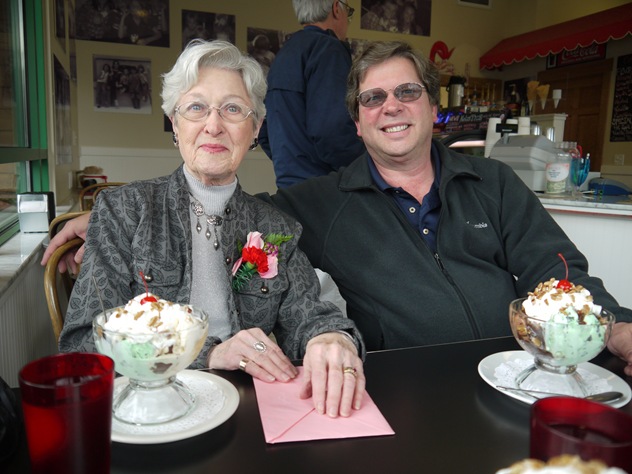
We spent “Mother’s Day” 2011 in Tahoe visiting my mother and brother Tom in South Lake Tahoe. Mom is going to be 89 this year and we thought she looked great. After church on Mother’s Day we all went to the Red Cup Ice Cream Parlor and had hot fudge sundaes. Afterwards we went back to mom’s place and gave her a digital photo frame what we can all send pictures to from either our cell phones or our computers. | ||
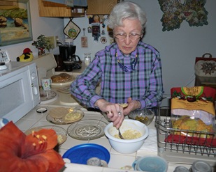
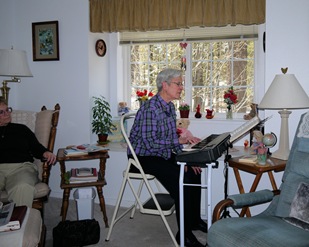
These pictures were on the previous day, when mom made us lunch and played a few hymns for us on her new Yamaha piano. We talked for several hours and had a real nice visit.
| ||
Friday
Eagle Falls - South Lake Tahoe
|
| Destination: Eagle Falls - South Lake Tahoe Distance from Point of Origin: 448 miles. Estimated (One Way) Travel Time: 8-1/2 hours. Directions: From the Stratosphere Casino head northeast on Las Vegas Blvd about 3 miles and turn left onto US-93/95, keeping on the left for 95 North towards Reno.Stay on US 95 for 345 miles and turn left onto Alt US 95 N (Yerington Cutoff) and follow for 24 miles. Turn Left onto NV 339 S which turns into NV 208 and follow for 24 miles. Turn right onto US 395 N for 16 miles. Turn left onto Riverview Dr. for .6 miles. Continue onto Dresslerville Rd. for 1.5 miles. Continue onto NV-756 W/Centerville Ln. for .6 miles. Turn right onto Centerville Ln. for 4.1 miles. Turn right onto NV-206 N/Foothill Rd for 1.3 miles. Turn left onto NV-207 W/Kingsbury Grade Rd. and follow over the mountain for 11.1 miles. Turn left onto US-50 W (Entering California) for 4 miles. General Description: Lake Tahoe is a large freshwater lake in the Sierra Nevada range of the United States. The general area surrounding the lake is also referred to as Lake Tahoe, or simply Tahoe. With a surface elevation of 6,225 feet, it is located along the border between California and Nevada, west of Carson City. Lake Tahoe is the largest alpine lake in North America. Its depth is 1,645 feet, making it the USA's second-deepest (the deepest is Crater Lake in Oregon, being 300 ft deeper, at 1,945 feet) Additionally, Lake Tahoe is listed as the 26th largest lake by volume in the world with 122,160,280 acre·feet of water. The lake was formed about 2 million years ago and is a part of the Lake Tahoe Basin with the modern lake being shaped during the ice ages. It is known for the clarity of its water and the panorama of surrounding mountains on all sides. A major tourist attraction, the South Shore is dotted with casinos, skiing resorts, golf courses and summer outdoor recreation. Special Attraction or Points of Interest: There are numerous attractions, hiking and photography moments in and around the south shore area. The Heavenly Gondola ride, Cave Rock, Emerald Bay and the GonVikingsholm Castle, Eagle Falls hike, Falling Leaf Falls hike, the Eagle Lake Hike, the Tallac Historic Site, and the Lake Tahoe Cruises, just to name a few. Primary Activity: Photography Secondary Activities: Hiking, Biking and Boating Elevation: Roughly 6,300 feet. Best Time To Visit: Year-round, depending upon your interests e.g. skiing, biking, hiking, etc. Difficulty: Depends upon your chosen activity. Here is a description of the Eagle Falls Hike: Eagle Falls has two different waterfalls to choose from. There is the Lower Eagle falls, and Upper Eagle Falls. Both are beautiful and worth the short hike. Lower Eagle Falls is about 1 mile hike down to the lake. The waterfall is spectacular, falling in two large cascades, the first about 60 ft. the second about 90 ft. It’s an easy to moderate hike and takes about 20-30 minutes. This is a great waterfall, and worth seeing. This is one of the most popular hikes in the area, but for good reason. There is a trail leading to the falls from the parking lot at Emerald Bay State Park located along highway 89. No dogs are allowed on the trail. The Upper Eagle Falls is a bit less spectacular but still beautiful and a short fun hike. The waterfall itself is about 20 ft. tall and it’s a short quarter of a mile up from the Eagle Falls picnic area. You can also continue on to Eagle Lake in the Desolation Wilderness from there. It will cost you $5 dollars to park. Facilities: Everywhere. Estimated Round-trip Time: 17 hours. Definitely a two-day travel plus whatever time you want to spend site-seeing and taking pictures. |
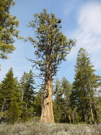
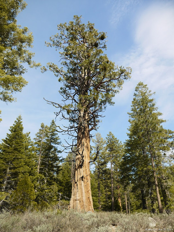
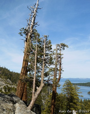
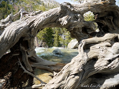
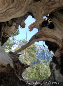
| 05/06/2001 Trip Notes: While on a “Mother’s Day” visit to South Lake Tahoe, we took a drive out on Highway 89 with the intent visiting Fallen Leaf Falls. Unfortunately, the snow at this upper elevation was still so deep that the area was still closed. Not to be disappointed we drove back to the highway and headed north toward Emerald Bay and Eagle Falls. Of course we realize it is impossible to be disappointed driving anywhere around Lake Tahoe as every turn brings just one more stupendous view after another. On the way we passed this beautiful Incense-Cedar. These old trees, often veterans of centuries of fires and storm damage, are stunning specimens to behold. Their massive, buttressed trunks, their spired crowns often broken and forked, and their flattened sprays of foliage give the tree a delicate, lacy appearance in beautiful contrast to its grizzled, gnarled bark. |
|
| Indeed, even in death these trees can stand out for their stark beauty. Click here for more info on this great specimen … Incense Cedar - Calocedrus decurrens. |
| ||
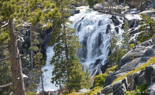
| This is a view of Upper Eagle Falls from the turnoff just past the upper falls on Highway 89, also known as Emerald Bay Road. This beautiful waterfall, falls in two large cascades, the upper falls being about 60 feet and the lower falls about 90 feet. Though we did not take it, taking the fairly steep 2½ miles round trip down to the lower falls provides a more spectacular close up view and ends at a sandy white beach on the shore of Lake Tahoe in Emerald Bay just past the world-famous Vikingsholm Castle, a replica of a Scandinavian castle. Hiking up from the upper falls provides some beautiful scenery and takes you to Eagle Lake. The picture on the right shows both the upper and lower falls. | 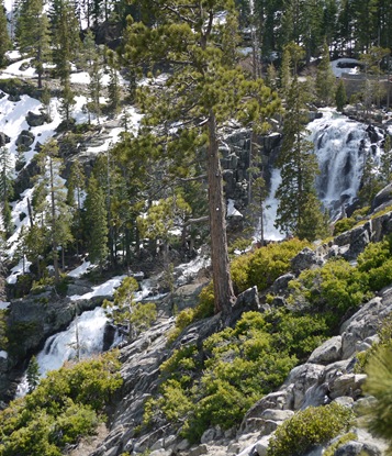 |
 |  |
| ||
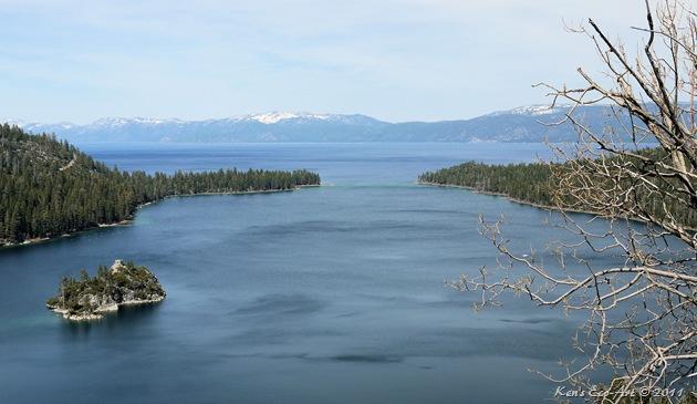
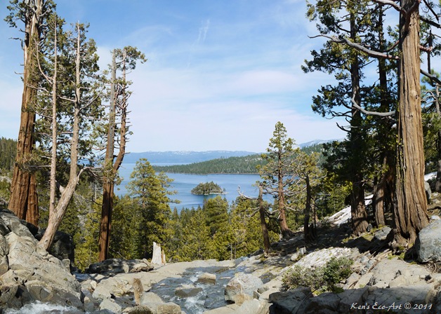
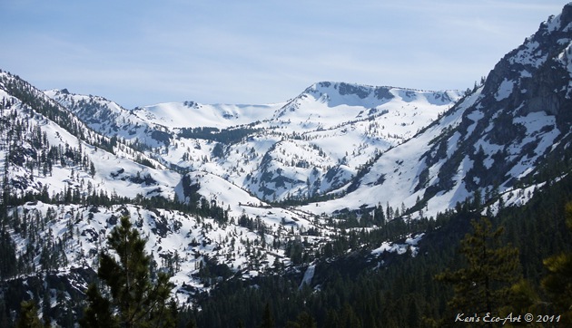
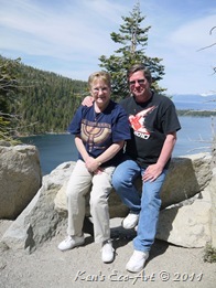
| The above view was taken while standing on the top edge of upper Eagle Falls as it looks eastward, out across Emerald Bay and across Lake Tahoe. It was amazing that at this elevation, just a few hundred feet above lake level, that there was no snow cover what-so-ever, however, just a mile down the road if you turned around and looked upward at the higher elevations, everything was still deeply covered in snow. They had so much snow this year that the “spring melt” is already causing serious problems, and there is a long way to go. | ||
 |
 |  |
Thanks for the beautiful afternoon Bro, we really enjoyed it! |
Incense cedar (Calocedrus decurrens)
I captured this beautiful specimen of an Incense Cedar on 05/06/2011 while riding with my brother as we were driving along the road that leads to Fallen Leaf Falls on the south-western edge of South Lake Tahoe. Judging from its size, one can gather that it has lived a long life and is quite old. | ||
The fruit is reddish-brown or yellowish-brown that ripens in the early autumn and remains on the tree until spring. The bark is bright cinnamon-red, broken into irregular ridges, and covered with closely appressed plate-like scales. It can be found in the mountains from western Oregon in higher Coast Ranges and Sierra Nevada to southern California and western Nevada. An important timber species, Incense Cedar is also the leading wood for the manufacture of pencils, because it is soft but not splintery. |
Tuesday
Reno, NV - Visit with Bonnie & Paul
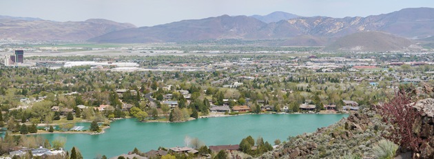
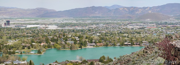
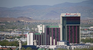
05/03/2011 Trip Notes: Just before Mother’s Day, Connie and I visited Bonnie and Paul in Reno. We stayed at the Atlantis Casino, located at the far left of the photo above and shown close up below. They joined us for dinner at the Atlantis the first night, and Bonnie prepared us lunch and dinner over the next couple of days. We spent many hours talking, reminiscing and riding around taking pictures of the area where they live. Paul and I spent several hours placing pictures on the digital picture frame we were giving mom on Mother’s Day. We were both amazed at the quality of the panoramas and pictures Paul has taken with his new camera over the past several months. | ||||
The picture on the right above, was taken at Audrey Harris Park, located just a few miles up the street from where they live. Bonnie spent the better part of an afternoon driving us around “the neighborhood, letting Paul and I out to take pictures. Here are just a few of the shots we captured.
| ||||
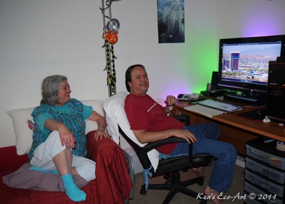
More family “Mug Shots”
| ||||
It was great that Paul had a few days off and that we were all able to spend some quality time together. Thanks for a great visit and for making us feel at home. Hopefully you guys will be able to make it down our way next year and we can return the hospitality.
|
Reno Nevada – Visit to Bonnie & Paul
 |
| Destination: Reno, Nevada Distance from Point of Origin: 450 miles. Estimated (One Way) Travel Time: 8 hours. Directions: From the Stratosphere Casino head northeast on Las Vegas Blvd about 3 miles and turn left onto US-93/95, keeping on the left for 95 North towards Reno.Stay on US 95 for 385 miles and turn left onto US 50 for 26 miles. Turn Right onto SR 343 for 1 mile and turn left onto 1-80 W for 35 miles. Take Exit 13 to downtown Reno, Virginia Street. General Description: Reno is the county seat of Washoe County, Nevada. It has a population of around 220,500, and is the most populous Nevada city outside of the Las Vegas metropolitan area. It sits in a high desert valley at the foot of the Sierra Nevada mountains. Reno, known as The Biggest Little City in the World, is famous for its casinos, and is the birthplace of the gaming corporation Harrah's Entertainment. City residents are called Renoites. Reno is bordered to the east by the city of Sparks. The Reno-Sparks metropolitan area is informally called the Truckee Meadows, and consists of about 400,000 residents. Special Attraction or Points of Interest: The Truckee River winds its way through downtown Reno and Sparks. The Truckee and Carson Rivers provide outstanding adventure opportunities. Together they offer fabulous kayaking, canoeing, whitewater rafting, all the popular forms of open-water paddling and water-sports like skiing and sailing or an outing on a personal watercraft. Located nearby are Lake Tahoe, Pyramid Lake and Donner Lake, all are superb for enjoying the water. Primary Activity: Gambling Secondary Activities: Water sports and Photography. Elevation: Downtown Reno is around 4,500 feet; On the south western part of town, Bonnie and Paul are at 4,675 Best Time To Visit: Any time of year is good. Difficulty: N/A Facilities: Many. Estimated Round-trip Time: 17 hours. Definitely a two-day driving trip, plus whatever time you want to spend in the area gambling, site-seeing and taking pictures. |
05/03/2011 Trip Notes: Just before Mother’s Day, Connie and I visited Bonnie and Paul in Reno. We stayed at the Atlantis Casino, located at the far left of the photo above and shown close up below. They joined us for dinner at the Atlantis the first night, and Bonnie prepared us lunch and dinner over the next couple of days. We spent many hours talking, reminiscing and riding around taking pictures of the area where they live. Paul and I spent several hours placing pictures on the digital picture frame we were giving mom on Mother’s Day. We were both amazed at the quality of the panoramas and pictures Paul has taken with his new camera over the past several months |
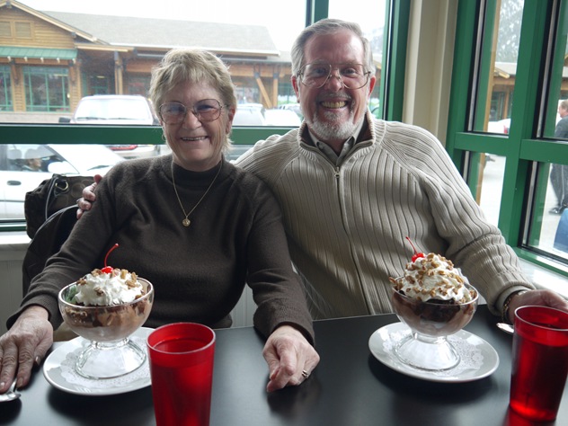
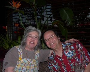
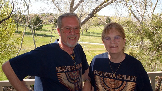
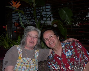
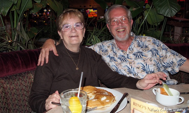
I created this page to chronicle and share our time with them with other family members. I hope you enjoy. The picture on the right is a distant close-up shot of the Atlantis Casino, where we stayed. We have stayed here several times before and just love their indoor pool area. The picture of Bonnie and Paul below was taken at dinner on our first night.
|  |
 | 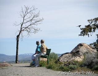 |
| The picture on the right above, was taken at Audrey Harris Park, located just a few miles up the street from where they live. Bonnie spent the better part of an afternoon driving us around “the neighborhood, letting Paul and I out to take pictures. Here are just a few of the shots we captured. |
 |
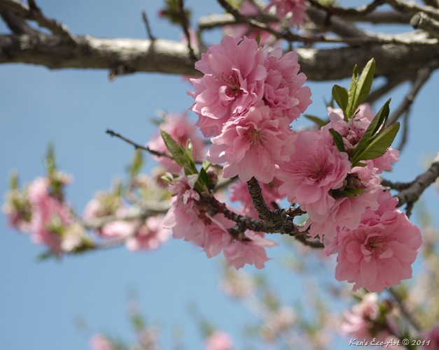 |
| These shots of flowering ‘Pink Perfection’ Cherry trees were taken on a walking path located just up the street from where Bonnie and Paul live. |
 |
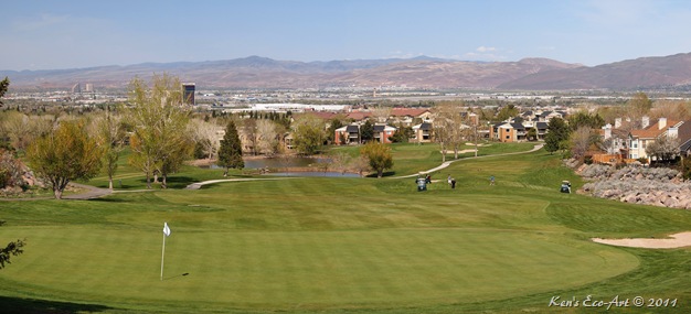 |
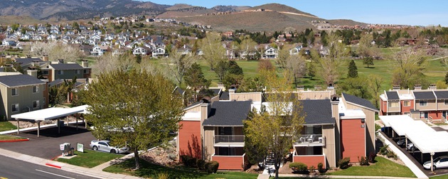
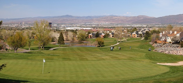
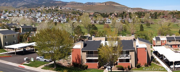
| The top picture is looking down on Bonnie and Paul’s apartment complex from across the street. Their apartment is located directly behind the big tree in the lower left. The bottom shot, just up the street, was taken from the golf course that runs directly behind their place. Their apartment building is in the very center of the shot, behind the right of ponds. |
 |  |
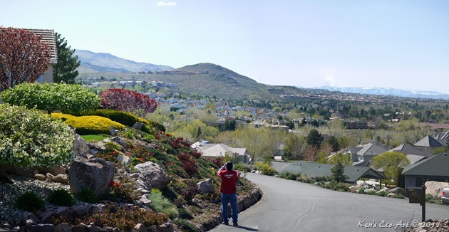 |
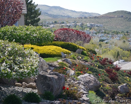
| The three pictures above were taken just a few miles up the road from where they live, on the way to Audrey Harris Park. The house on the left had what I considered was one of the most beautiful rock gardens I have ever seen. That Paul in the center taking a panoramic shot of the neighborhood. |
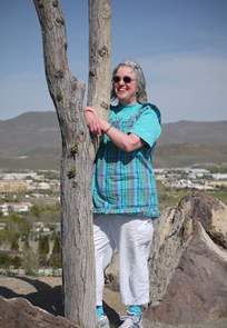
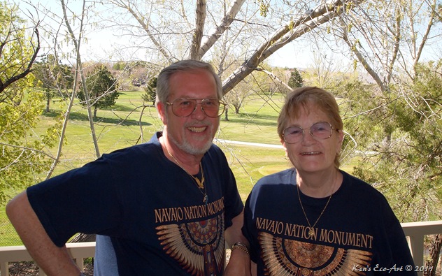
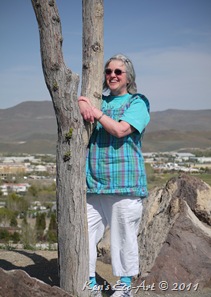
More family “Mug Shots” |
 |
 |  |
 |
It was great that Paul had a few days off and that we were all able to spend some quality time together. Thanks for a great visit and for making us feel at home. Hopefully you guys will be able to make it down our way next year and we can return the hospitality. |
Subscribe to:
Posts (Atom)

