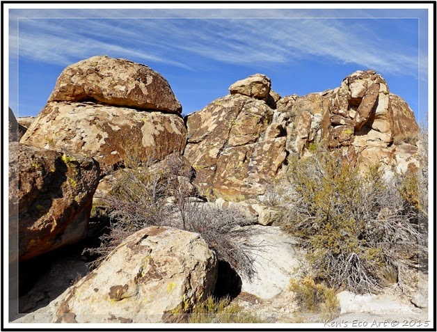
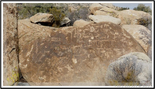
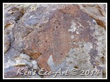
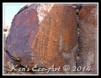
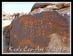
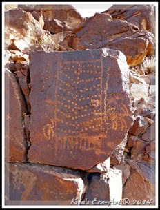
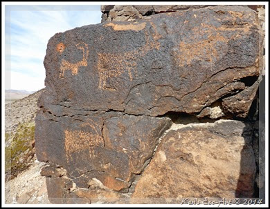
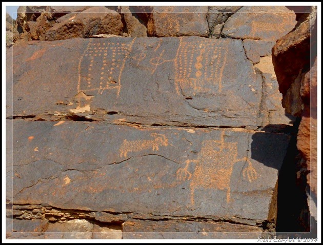
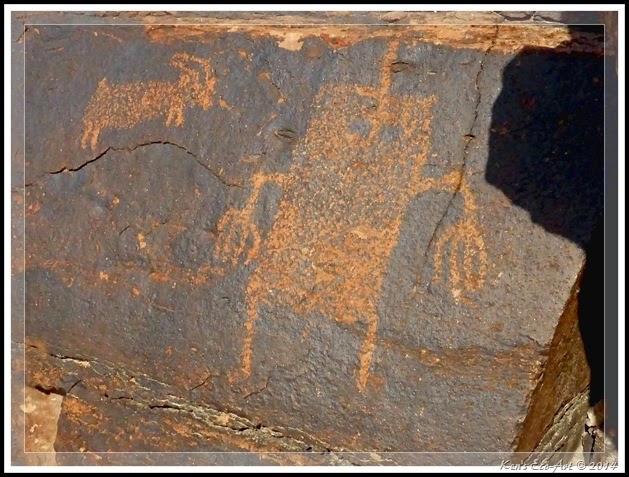
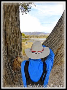
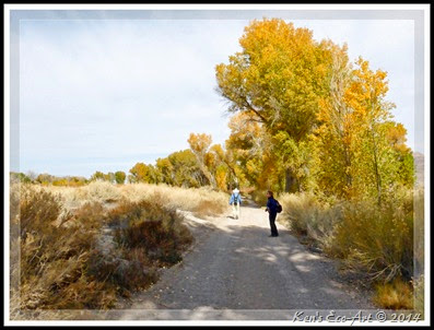
 Located in the middle of the Pahranagat Valley just 90-miles north of Las Vegas, the Shooting Gallery Rock Art Site derives its name from archeological evidence that early pre-historic inhabitants created a system of rock arrangements and hunting blinds to channel game towards hunters. The rock art found here is representative of the three distinct styles found within the Pahranagat Valley. Click here to view this page … Shooting Gallery Rock Art Site. In addition I also added two more pages with more pictures and information about petrogrlyphs in the area: (1) Shooting Gallery Petroglyphs, and (2) Understanding Nevada Rock Art. Located in the middle of the Pahranagat Valley just 90-miles north of Las Vegas, the Shooting Gallery Rock Art Site derives its name from archeological evidence that early pre-historic inhabitants created a system of rock arrangements and hunting blinds to channel game towards hunters. The rock art found here is representative of the three distinct styles found within the Pahranagat Valley. Click here to view this page … Shooting Gallery Rock Art Site. In addition I also added two more pages with more pictures and information about petrogrlyphs in the area: (1) Shooting Gallery Petroglyphs, and (2) Understanding Nevada Rock Art. |
Friday
Daytrip – Shooting Gallery Rock Art Site
Tuesday
Index for Category - Lichen
This page last updated on 12/25/2017
Monday
Eldorado Canyon and Nelson Nevada
{Click on any image to view full size, then use the back button on your browser to return to this page}
This page last updated on 06/06/2018
This page last updated on 06/06/2018
| ||||||
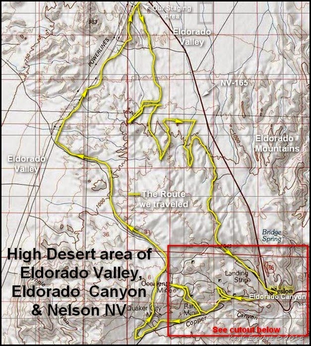
| Directions: Take I-93 from Las Vegas towards Boulder City. Take the exit for I-95 south and continue for approximately 10 miles and turn left (east) onto NV SR-165. Continue for approximately 3.6 miles and turn right (south) onto a power lined dirt road. There will be a gate, which may be closed but not locked. The are several OHV dirt roads that lead from this parking/staging area in various directions (Fig. 02). The main ATV trail to Nelson heads south, somewhat paralleling NV-165. | ||||||
| ||||||
| ||||||
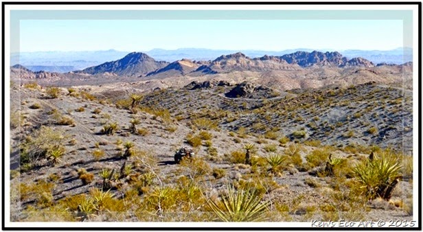
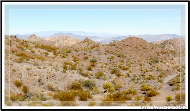
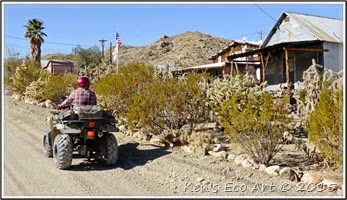
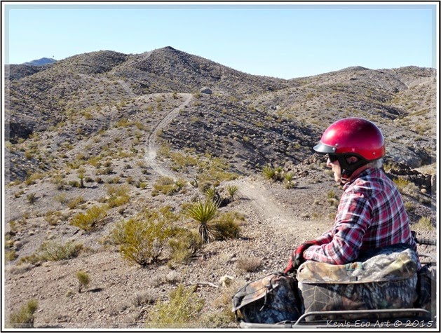
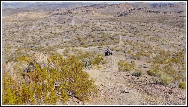
| Area Description: Eldorado Canyon is one of the most accessible scenic areas in Southern Nevada. After turning onto NV SR-165, the road climbs about 11 miles into a little pass at Nelson (Fig. 02). Following a major wash with unusual eroded rock monoliths as it winds down through Eldorado Canyon another seven miles to a viewpoint (Nelson’s Landing) overlooking the Colorado River. Nelson's Landing once served the sturdy little steamboats that plied the river. For some 40 years, steamboats putting in at Nelson's Landing provided a lifeline for the remote mining camp and surrounding mines before there were highways and long before dams harnessed the river's flow. Click here for pictures and more info on ... Nelsons Landing & Place Cove - Summary Page. As the road nears the river, it enters the Lake Mead National Recreation Area. The desert area west of NV SR-165 (Fig. 02) offers endless ATV trails with plenty of steep and challenging hill climbs (Figs. 01 & 04), some dry river washes, twisting rock formations and several small canyons. Once you reach Nelson, a tiny remnant of a once-thriving boomtown, you are immediately transported back in time. | ||||||
| ||||||
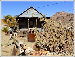
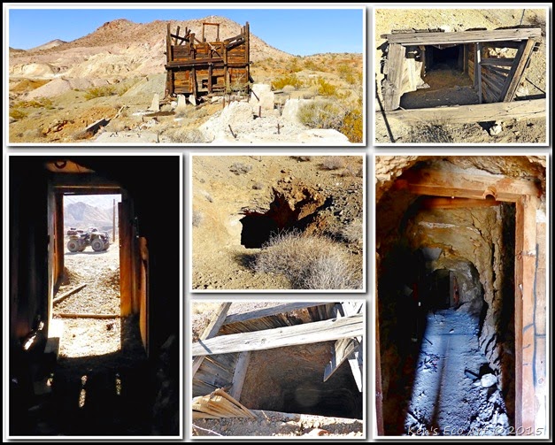
| Area History: The area surrounding Nelson and Eldorado Canyon was first home to the ancient Ancient Puebloan Indians, and later the Paiutes and Mojave tribes until they were intruded upon in 1775 by the Spaniards in their constant quest for gold. Founding a small settlement at the mouth of the Colorado River, they called it Eldorado. However, these early Spaniards somehow missed the rich gold veins just beneath the canyon’s flanks, finding silver instead. They soon found that the silver was not in high enough quantities to justify their operations, and moved on. When American explorers finally reached the area, prospectors soon followed. By the 1860’s, promising claims drew many miners to the canyon. Soon the Techatticup Mine and other nearby mines employed about 300 men in unruly camps that were far from the reach of the law. In the years prior to 1909, the district was part of Lincoln County, whose sheriff was headquartered at Pioche, nearly 300 miles away by horseback, and offered no protection. As a result the town of Nelson was a quite lawless. Eventually, order had to be kept by federal troops, who came up the river from Fort Mohave in Arizona Territory and deployed for a while at their own camp. Discoveries in the late 1850’s to the mid-1860’s led to a mining boom that resulted in the removal of millions of dollars in gold, silver, copper and lead ore over the next century. Nelson grew up during these boom years. It is named for Charles Nelson, a prospector who was killed by the renegade Avote, one of two native murderers who preyed on lone victims over a period of years. The fear-inspiring outlaw in the area was named Queho. Today, Nelson is all but a ghost town with a population of about thirty-seven people (2010 census). With no open businesses, the town marks its past with a few weathered sheds, small shacks with corrugated metal siding (Figs. 05 & 06), and rusting machinery parts. Those few residents that remain mostly live in a smattering of modern buildings and mobile homes. Though it’s hard to imagine today, in the 1880s Nelson and the 10-mile Eldorado Canyon was called home to more people than the entire Las Vegas valley. As you drive south from Nelson, the road begins a twisting drive through the canyon, providing dramatic views of rugged rock walls and stone formations, pocked with holes and tailings from its old mining days. Within just a few miles you will come to the infamous Techatticup Mine. Click here for pictures and information on this mine … Techatticup Mining Camp. 09/19/2015 Trip Notes: On 09/19/2015 I decided to rent a jeep and drive to Eldorado Canyon and the town of Nelson in search of old gold and silver mines. After reaching Nelson we proceeded to the area behind the town to the Black Hawk and Carnation mines. After exploring the various mines, shafts and audits in this area we ended up at the Techatticup Mining Camp for a tour of the old Techatticup gold mine. Click here for pictures of today’s trip … Nelson Nevada Mines. | ||||||
| ||||||
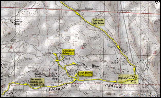
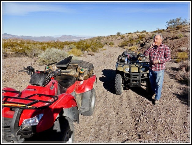
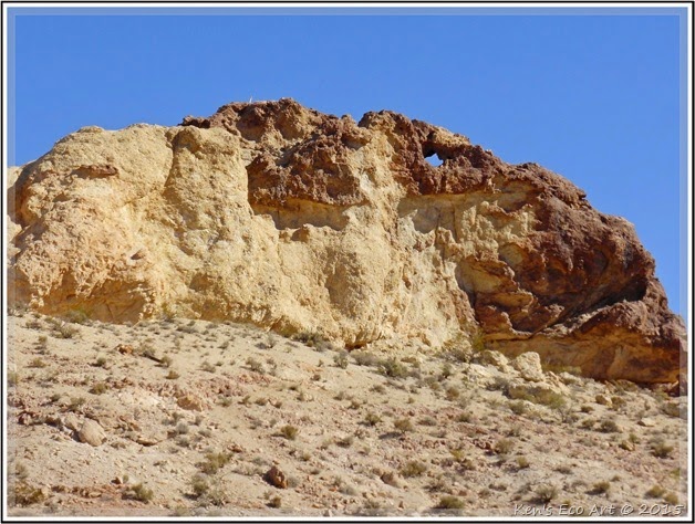
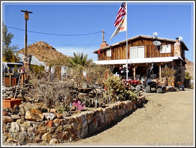
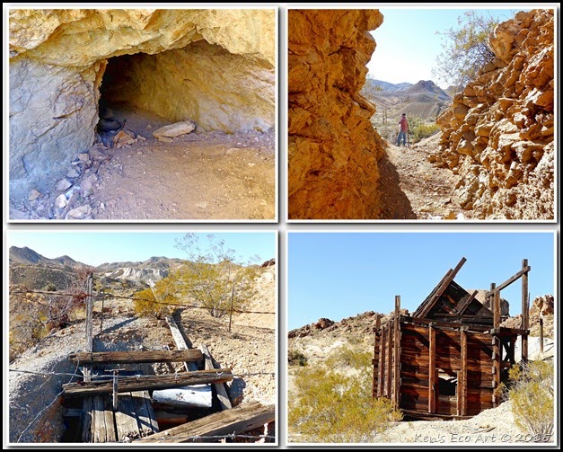
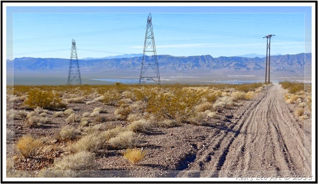
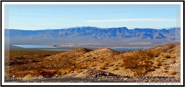
| 11/28/2014 Trip Notes: After unloading the quads at the parking/staging area (Fig. 02) near the power lines off NV-165, we picked a trail and headed out across the desert in the direction of Nelson (Fig. 07). As you can see from our route in yellow on (Fig. 02) we ended up doing a lot of “zig-zaging” and backtracking (Fig. 01 and 08) due to the fact that we reached a couple of steep hills that we could not maneuver because one of the quads did not have 4WD. After nearly two hours of riding, including some stops for water and snacking (Fig. 09), we entered the large sand wash just north of Nelson (upper right of (Fig. 03)). While driving down this wash I spotted a large sandston outcrop on its eastern ridge that contained a small arch (Fig 10). Upon reaching the town proper, we drove through slowly taking in some of the properties (Figs. 06 & 11) that lined Eldorado Street, the town's main drag. Heading west, out of town, we came to what was the main mining area that made up the Eldorado Mining District. (see the section below titled, Background on the Eldorado Mining District) This general area contains no less and a dozen mine sites; some which appeared to be still active. One could literally spend an entire day here hiking around and exploring these many sites. We decided to stop here for lunch as we explored two of the larger mine sites (refer to Fig. 03); the Black Hawk Mine (Fig. 12) and the Carnation Mine (Fig. 13). After spending a couple of hours here we followed a wash trail (refer to Fig. 02) back to the power line road and eventually back to our starting point. Once we reached the power lines (Fig. 14), we were afforded a views of the 10-megawatt Sempra Generation Energy plant (Fig. 15), the largest solar photovoltaic facility in Eldorado Valley and the largest thin-film solar-powered project in North America. The El Dorado Energy Solar project, located adjacent to the company’s existing 480-megawatt, gas-fired El Dorado Energy power plant, involved the installation of more than 167,000 solar modules on 80 acres of leased desert property designated as part of Boulder City’s energy zone. Sempra Generation has a 20-year power purchase agreement with Pacific Gas and Electric, the utility serving northern and central California, for the new project’s entire output. | ||||||
| ||||||
| ||||||
| ||||||
| ||||||
| ||||||
| ||||||
| ||||||
| ||||||
| ||||||
| Background on Eldorado Mining District: Originally called the Colorado Mining District, it was later referred to as the Eldorado Canyon and Nelson District. The first real discovery in the area was at the Honest Miner, a small deposit about two miles west of Nelson. For a few years, the miners were able to keep their gold find a relative secret due to the remoteness of the area. However, this all changed in 1858 when the first steamboats began to make their way up the Colorado River from Yuma, Arizona. Before long, word spread and miners began to flood the area. The early history of the district saw construction of a mill at Nelson’s Landing where steamboats provided access for supplies and communication with the world. In the early 1900s Nelson’s Landing was one of the largest ports on the Colorado River and became even more important during prohibition in the 1920’s as bootleggers ran their white lightning into Arizona. At the time of the Eldorado mining District's organization this area was in New Mexico territory, later to become part of Arizona territory and eventually part of Nevada. It has been estimated that production of the district prior to 1897 may have been over 100,000 ounces, most of which came from the Techatticup Mine, just a few miles south of Nelson, where ore grades were several ounces of gold per ton. At today's prices that would equate to nearly $5,000,000 dollars. The principal mine producers have been the Techatticup, Duncan, Wall Street, Rand and Carnation mines. Other smaller producers included the Magnolia, Poppy, Jubilee and Crown mines. Vanderburg reported that production from El Dorado from 1907 to 1935 was $1.6 million, nearly all from lode gold and silver mines. Bullion shipments from El Dorado were not well recorded. As might be expected, shipments were not made by the normal express company system that was typical of the Mother Lode and Comstock regions. They were made privately, hence a distinct lack of reporting. At least two early shipments were recorded. In June, 1864, it was reported that 101 pounds of bullion went to Los Angeles, and in December, 1865, it was reported that $20,000 in bullion had arrived in San Francisco creating quite a stir. At today’s prices that one shipment would have been more than $270,000. In recent years there has been steady production from the Mocking Bird mine and significant "heap leach" production from the Wall Street mine from 1974-1984 by Consolidated Eldorado Mining Company and Intermountain Exploration Company. | ||||||
|
Pages Uploaded in December 2014
December 2014 Posts (by Category & Title):
Petroglyphs&Pictographs - Understanding Nevada Rock Art
Petroglyphs&Pictographs - Shooting Gallery Petroglyphs
Daytrip/Petroglyphs&Pictographs - Shooting Gallery Rock Art Site
Petroglyphs&Pictographs - Understanding Nevada Rock Art
Petroglyphs&Pictographs - Shooting Gallery Petroglyphs
Daytrip/Petroglyphs&Pictographs - Shooting Gallery Rock Art Site
Shooting Gallery Game Drive District (Summary Page)
{Click on an image to enlarge, then use the back button to return to this page}
This page last updated on 07/15/2019
Introduction: As I began to discover more and more rock art sites during my hikes over these past several years, I have become witness to far too many examples of where persons had seemed fit to deface them with graffiti and other examples of damage. Eventually I realized that the sharing of my hiking adventures could have the potential to increase public exposure, and thereby increasing the possibility for even more damage. As a result, I decided to preface each of my rock art pages with the following information to help educate visitors about the importance of these fragile cultural resources. Before scrolling down, I implore you to READ the following ... as well as the linked page providing guidelines for preserving rock art.
Here are a few simple guidelines you can follow that will help to preserve these unique and fragile cultural resources that are part of our heritage. Guidelines for Preserving Rock Art. If you would like to learn more about the Nevada Site Stewardship Program, go to my page ... Nevada Site Stewardship Program (NSSP).
| ||
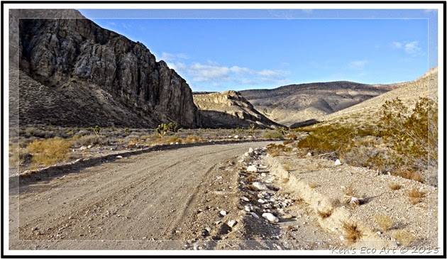
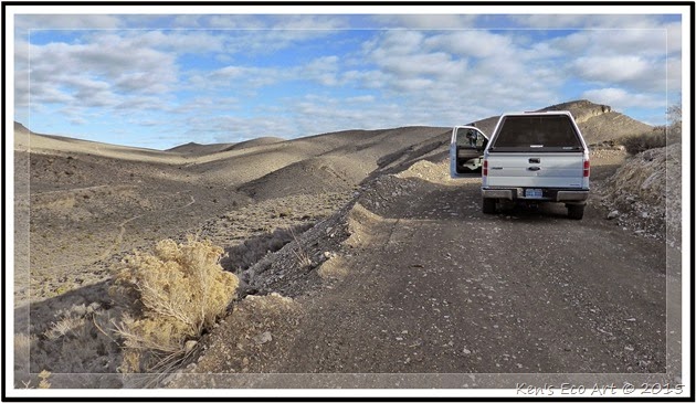
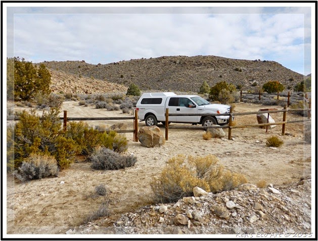
Directions: The Shooting Gallery Game Drive District is about 105 miles from Las Vegas at the end of a rugged, gravel and dirt road. Take the I-15 N/US-93 N toward Salt Lake City and travel about 22 miles to US-93 N exit, EXIT 64, toward Pioche/Ely. Turn left onto US-93 N and drive 73 miles to Alamo. About a mile past Alamo turn left onto South Richardville Road (Fig. 02). Follow South Richardville Road for 1.3 miles to Curtis Canyon Road, and turn left (heading west). After 0.4 miles, take a right at the fork in the road (there is a “dump site” sign to the left.) Follow the main road, despite various branches (Fig. 01). At approximately 5.3 miles where you will come upon a fenced, gate. If it is open, leave it open; if it is closed, open it, drive through, then close it (cattle grazing). This is Repeater Road. At 5.7 miles, turn left and ascend a steep, winding road (note: Though this gravel road is well graded, lowest gear, 4x4 is advised from this point on). Follow Repeater Road. At 6.6 miles, stay to the right. At 7.1 miles, stay to the right through the valley. At 8.7 miles, there is an extreme reverse hair-pin (right-hand) turn onto Hilltop Road, a narrower road. This road will end in a fenced parking lot after another 0.3 miles (about a total of 9.0 miles from South Richardville Road) where there is a parking area and register (Fig. 03).
| ||
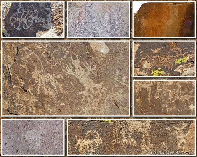
Site Description: The Shooting Gallery Game Drive District, or aka Shooting Gallery Rock Art Site, derives its name from archeological evidence that early pre-historic inhabitants created a system of rock arrangements and hunting blinds to channel game towards hunters. The combination of a narrow valley, seasonally-abundant water, and good grazing for large animals makes this area one of the few now-known "game drive" sites in greater Southern Nevada. The area is currently thought to have been inhabited from as early as 2,000 years ago to as late as 500 years ago by several different groups. The rock art found here is representative of the three distinct styles found within the Pahranagat Valley: The Great Basin Abstract Style, that is predominately abstract symbols (circles, grids, etc,); the Pahranagat Representational Style (bighorn sheep, deer and anthromorphs with rectangular bodies and solidly pecked out bodies and heads); and the Fremont Representational Style, that resembles the classic trapezoidal bodied anthromorphs and quadrupeds. Click here for more detailed information and photos about the petroglyphs at this site ... Ref - Shooting Gallery Game Drive District Rock Art.
07/12/2019 Trip Notes: After an early 6 am start, Jim Herring, Bob Croke, Ron Ziance and I drove to Alamo to hike the Shooting Gallery Game Drive District rock art site in search of petroglyphs. We arrived at the parking lot around 9:30 am and began our hike to the area containing the rock art covered boulders. We then spent nearly three hours hiking the area taking hundreds of pictures. Click here for pictures and a description of this trip ... Shooting Gallery Game Drive District - 07/12/2019 Trip Notes. | ||
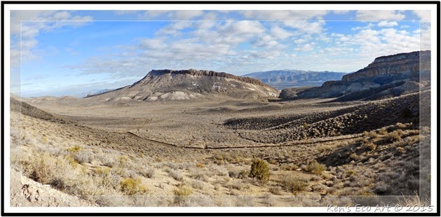
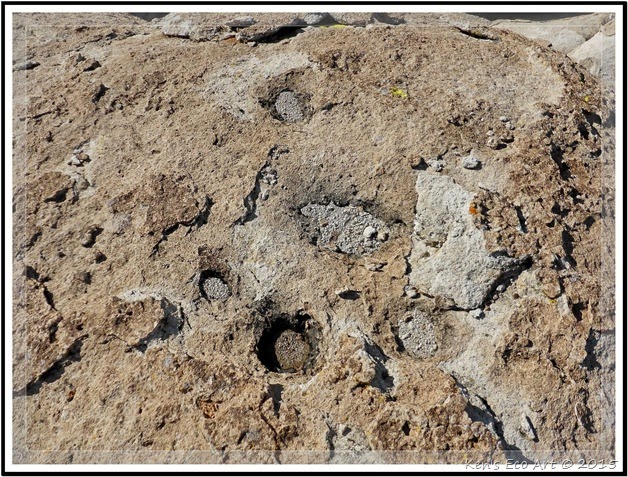
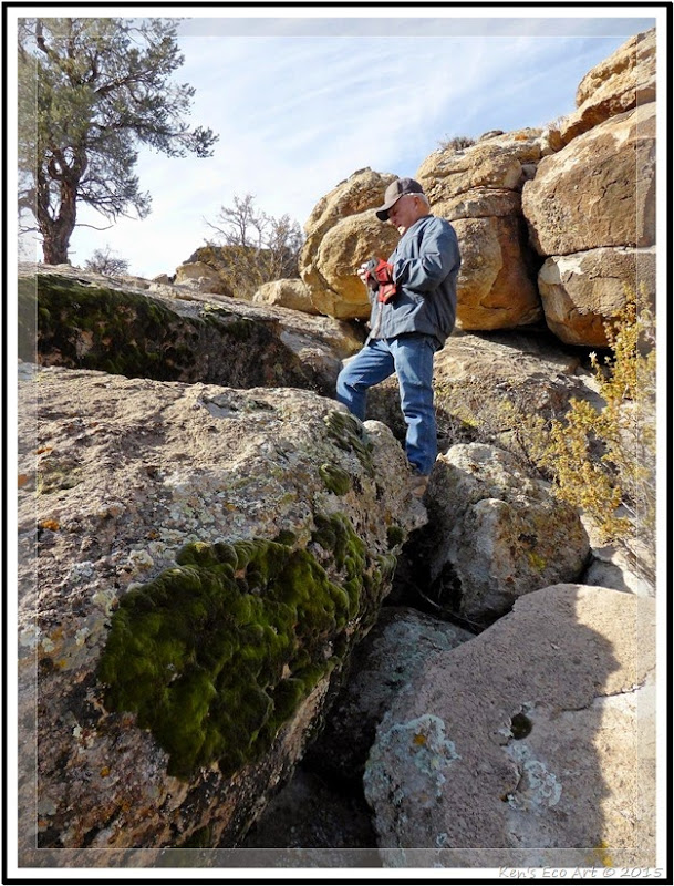
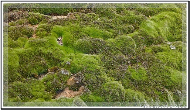
| 12/16/2014 Trip Notes: Approximately five miles from US-93, Curtis Canyon Road begins to enter the mouth of Curtis Canyon (Fig. 01). After entering Curtis Canyon the road becomes what is called Repeater Road as it snakes its way up the East Pahranagat Range (Fig. 02), quickly climbing nearly 500 feet to an elevation of greater than 5,000 feet. Heading due south this road provides some outstanding views that peer down into the Pahranagat Valley (Figs. 04 & 05). Continuing to drive south on this road for another four miles eventually takes you to the parking area (Fig. 06) for the Shooting Gallery Game Drive District site. From the parking area we followed the path north down into the wash, where we passed a few yellow and brown BLM markers. Approximately 0.37-miles out, we climbed up the west side of wash. You will come to the first panel on a boulder field that stretches towards the base of the mountains and a rather deep, rocky ravine. As you work your way west across the boulder field toward the steep rock filled canyon you will encounter nearly a dozen petroglyph panels on large boulders, some containing as many as two dozen symbols (Figs. 07 & 08). As you can see from the collage in (Fig. 09), besides abstract symbols and many examples of zoomorphs of bighorn sheep, we also found some examples of anthropomorphs (human like figures). Unfortunately, bright sunlight on several of the panels we passed prevented us from capturing really good pictures. In addition to the rock art, we also found a boulder that contained what appeared to be some examples of grinding slicks (Fig. 10). Even though we spent several hours hiking in and around the large boulder field here (Fig. 11), we didn’t really have enough time to fully explore this area. Notice the large patch of moss on the rock below Harvey’s feet in (Fig. 11). Here is a close-up (Fig. 12). This was an amazing site that contained many more panels than we had expected. The fact is, there were some more panels indicated on the “guide” map that we had that we never got to see. We can’t wait to go back for another visit to see what else we can find. For even more information on the history of rock art in this geographical area, click the following link ... Ref - Understanding Nevada Rock Art. | ||
| ||
| ||
| ||
| ||
| ||
| ||
| ||
| ||
|
Reference Materials:
Manuscript written by Kenneth C. Clarke
|
Daytrips –Pahranagat Valley Petroglyph Sites
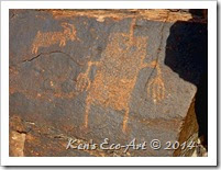 Over the past couple of weeks I made two separate visits to two petroglyph sites in the Pahranagat Valley, an area located about 90 miles north of Las Vegas off US-93. The first was to Black Canyon inside the boundaries of the Pahranagat National Wildlife Refuge … Black Canyon Petroglyphs (1st visit), & Black Canyon Petroglyphs (2nd visit) and the second was to the Ash Springs Rock Art Site in the small community of Ash Springs … Ash Springs Rock Art Site. Over the past couple of weeks I made two separate visits to two petroglyph sites in the Pahranagat Valley, an area located about 90 miles north of Las Vegas off US-93. The first was to Black Canyon inside the boundaries of the Pahranagat National Wildlife Refuge … Black Canyon Petroglyphs (1st visit), & Black Canyon Petroglyphs (2nd visit) and the second was to the Ash Springs Rock Art Site in the small community of Ash Springs … Ash Springs Rock Art Site. |
Black & White Conversion
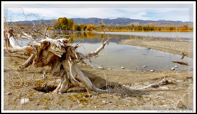
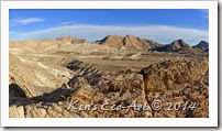 While reviewing some landscape photos for a recent post (2014 Landscapes/Panoramas), I got the idea that this picture might lend itself to a black & white conversion. Check it out here … Desert Moonscape. While reviewing some landscape photos for a recent post (2014 Landscapes/Panoramas), I got the idea that this picture might lend itself to a black & white conversion. Check it out here … Desert Moonscape. |
Saturday
Bee Mania
Black Canyon Petroglyph Site – Trip Notes for 11/13/2014
{Click on an image to enlarge, then use the back button to return to this page}
| ||||||
| ||||||
Site Description: Generally known as the Black Canyon Petroglyphs, this 10-acre section of the Pahranagat National Wildlife Refuge was placed on the U.S National Register of Historic Places in 1975 as an archeological historic district having significant potential for information to be learned in the future. Back in 2009, there was an extensive volunteer project that documented over 100 rock art panels at seven sites in and around this location. Black Canyon itself is well-known for its concentration of what is referred to as Pahranagat Representational Style petroglyphs - a distinctive anthropomorph style composed of varying treatments of the human form, often called the Pahranagat Man. It is often a headless rectangular form containing internal decoration accompanied by an atlatl-like design. The body of the anthropomorph is sometimes a solic-pecked oval or somewhat rectangular form with a line protruding from the head and with down-turned arms and extended hands as in (Fig. 17) below. With a style that seems to be restricted in distribution to the Pahranagat Valley area, it seems to point to a localized cultural development. The representation of the atlatl would date some of these petroglyphs to more than a 1,000 years old. Overall, the projectile points, sherds, and hydration rim values found during the study reflect an Early Ceramic and Late Archaic use—within the last 1,500 years—with Late Archaic indicators significantly outnumbering Early Ceramic ones, underscoring occupations of Black Canyon within the last 750 years.
| ||||||
| ||||||
|
| ||||||||||||
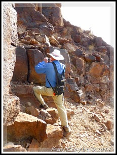
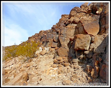
| Because the petroglyphs on the eastern ridge were located so high up, we had to climb three quarters of the way up the steep, crumbling ridge-line (Fig. 08 & 09) in order to capture any good pictures. Throughout the course of our hike, we found several stand-alone petroglyph panels that contained what appeared to be nothing more that a series of “pecked” dots (Figs. 10-13) (Click to enlarge) Even though I have no clue as to what they are trying to represent, the fact that there were so many of them makes me think that their significance was important. From the road below, Mary acted as our “spotter”, pointing out the locations of glyphs along the ridge, causing Bob and I to climb higher. As we neared the end of the ridge-line, along with some more abstract symbols, we actually found several panels containing zoomorphs (Figs. 14 & 15) and one with a very distinct anthropomorph of a Pahranagat Man (Figs. 16 & 17). | ||||||||||||
| ||||||||||||
| ||||||||||||
|
| ||||||
| ||||||
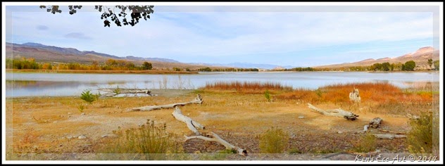
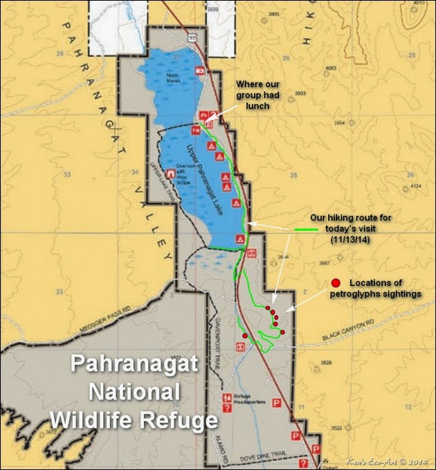
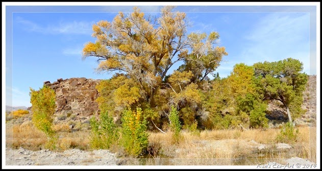
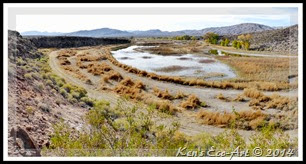
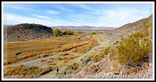
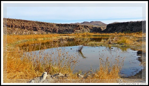
| After climbing back down off the ridgeline, we hiked north to the southern end of Upper Pahranagat Lake (Fig. 02). I was sorry to see how much the lake had dropped since my previous visit here. Much of the lakes" shoreline, as seen in (Figs. 01, 18 & 19), was under water that last time I visited here. Even though it is several weeks past prime "leaf peaking", we were still able to experience some nice fall color. After a brief period of watching birds and picture taking (Fig. 20), we began to hike up the road (Fig. 21) that follows the lake’s eastern shoreline to the upper dam where we joined up with the rest of our group for lunch before beginning the long two hour ride back to the Senior Center. Click here for info and pictures from my second visit to Black Canyon a week later ... [More Black Canyon Petroglyphs] | ||||||
| ||||||
| ||||||
| ||||||
Click here for pics of my second visit to Black Canyon [More Black Canyon Petroglyphs]
Click here to [Return to the Previous Page]
Click here to [Return to the Previous Page]
Subscribe to:
Posts (Atom)

