{Click on an image to enlarge, then use the back button to return to this page}
Note: Clicking any of the hyperlinks below will take you to the specific hike page that provides detailed information about the picture's location. Visiting all of these pages will take you on a virtual hiking tour of dozens of hikes in around Clark County, Lincoln County and the California's Death Valley area. Remember, after visiting one of the associated links, clicking your "back button" will return you to this page.
 |
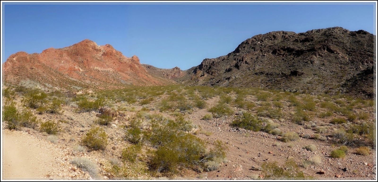
(Fig. 11-01)
Picture Notes: Blake Smith, one of my good friends and regular hiking partners.
Either alone or with the Rockhounds, Blake and I have hiked dozens hikes together over the past several years. This picture was taken at Grapevine Canyon in Laughlin Nevada ...
Grapevine Canyon Inside the Bridge Canyon ilderness Area |
 |
(Fig. 11-02)
Picture Notes: As I never hike alone, I often hike with a regular group of 3 to 4 others.
The group for this hike, commonly referred to as the "four musketeers", includes left to right, myself, Blake Smith, Ron Ziance and Robert Croke.
This picture was taken behind the Spring Mountains Visitor Gateway Center ...
Escarpment Trail at Visitor Gateway Center |
 |
(Fig. 11-03)
Picture Notes: One of our new regular hiking partners is another good friend, Jim Herring, who just recently moved to Las Vegas from Whichata Kansas.
Now that he has moved here, I will be trying to "catch him up" on many of our past hikes. This picture was taken on a hike to Bootlegger Canyon in Boulder City ...
Bootleg Canyon Trail System |
 |
(Fig. 11-04)
Picture Notes: This is Marc Resnic, a person I used to work with at GVR Casino more than 10 years ago. Like myself, Marc is one of the more avid photographers who hikes with us when he is available.
Unfortunately, because he works, he is only able to hike with us on weekends. This picture was taken at Dante's Peak on one of our many trips to Death Valley ...
Death Valley National Park |
 |
(Fig. 11-05)
Picture Notes: An avid biker, my good friend Robert Croke is one of the original "four musketeers" hiking group and often volunteers to drive us to many of our hiking locations.
Bob is also our official "GPS guy" and provides me with the map information for this site. This picture was taken on our hike of Ash Creek Canyon...
Ash Creek & Wilson's Pimple Loop Trail |
 |
(Fig. 11-06)
Picture Notes: Ron Ziance is Bob Croke's regular biking partner, and is now a regular member of the "four musketeers" hiking group.
Because the combined age of our group is nearly 300 years, we sometime refer to our selves as the "One MPH Group" because that is about our normal hiking speed. This was taken on a hike of First Creek ...
First Creek Trailhead - RRCNCA |
 |
(Fig. 11-07)
Picture Notes: Hike of the Walking Box Ranch near Searchlight, Nevada.
Linda Groft, the hike coordinator for the Henderson Senior Center's "Rockgrounds" arranged for a special tour of this ranch even though it is not open to the public.
Walking Box Ranch |
 |
(Fig. 11-08)
Picture Notes: One of my more adventurous hiking partners from the Henderson "Rockhounds".
Mary has accompanied me on many hikes that many of the 'older' members are not willing to try.
Fire Wave & Kaolin Wash - 04/23/2015 Trip Notes |
 |
(Fig. 11-09)
Picture Notes: My brother Tom ( on the right) and the group we zipped line with in Boulder City.
This was taken at the top of Bootleg Canyon before we hiked to the zip line site on Red Mountain.
Zip Lines -at Bootleg Canyon |
 |
(Fig. 11-10)
Picture Notes: Two of my regular hiking partners, Blake Smith and Robert Croke in Cottonwood Valley .
This was taken on a hike to First Creek Canyon in the Red Rock Canyon National Conservation Area.
First Creek Trailhead - RRCNCA |
 |
(Fig. 11-11)
Picture Notes: This is a picture of my brother Tom on a jeep trip we made to explore some old abandoned gold and silver mines located behind the town of Nelson in Eldorado Canyon.
|
 |
(Fig. 11-12)
Picture Notes: Hiking partners Bob, Mary and John on a hike to the Crystal Wash Rock Art Site.
This petroglyph site is located in Lincoln County on the way to Calente Nevada.
Crystal Wash Rock Art Main Site |