{Click on an image to enlarge, then use the back button to return to this page}
This page last updated on 06/15/2017
 |
| (Fig. 01) Click picture to enlarge |
04/30/2016 Trip Notes: Today, Blake Smith, Jim Herring and I decided to head to Cold Creek Nevada to see if we could hike the Bonanza Peak trail. We had heard that Camp Bonanza Cold Creek Rd., the dirt road above the town the leads to the trailhead was in bad shape and would require a 4WD vehicle. We were surprised to learn that it was actually in pretty good shape and were able to make the 2.2 miles to the trailhead in Jim's SUV. Once you reach parking area at the hike trailhead (Fig. 01), you are at an elevation of 7,553 feet, about a thousand feet above the town. Looking at the map in (Fig. 02) below, the hike all the way to Bonanza Peak (10,397 ft) is 4.07 miles with an elevation gain of an additional 2,844 feet. The Bonanza Saddle noted on (Fig. 02) is at 9,803 feet, is 2.98 miles from the trailhead. Unfortunately we had to turn around before reaching the saddle due to a snow storm that was cresting the top of the ridge line. I estimate the spot where we turned around (see Fig. 02) was about 2.25 miles out at an elevation of about 9,150 feet. (notes con't below)
 |
| (Fig. 02) |
Hike Notes Continued: After crossing an open grassy meadow-like area, the trail enters the trees and quickly begins its steeply ascent. As you continue climbing up you are presented several openings in the trees that provide some spectacular views out towards the Sheep Mountain Range(Fig. 03). Along the way there were dozens of huge Ponderosa Pines (Fig. 04). In addition, referring to (Fig. 05), we found thousands of fallen pine cones, various birds eating the seeds of the cones, including some rocks that were filled with ancient seabed fossils. In one of the openings I was able to use my 720mm lens to zoom onto Jim's car in the parking nearly 800 feet below. About 1.7 miles out the trail at about the 9,000 foot elevation overlooked the old "burn area". This open area also provided a good view of the town of Cold Creek more than 2,500 feet below (Fig. 06). This ended up being a good place to sit down, drink some water and rest abit (Fig. 07). As we climbed higher, the snow got deeper, almost to the point we could barely make out the trail (Figs. 08-10). It started to rain and then to spit small ice pellets (Fig. 11). Unable to see over the ridge, we decided to play it safe and start our way down Fig. 12). About half way down, the small "hail-like" pellets were coming down so fast that they almost covered the ground (Fig. 13). When we reached the trailhead, we then drove down to the lower pond below Corn Creek and had a picnic lunch.
 |
| (Fig. 03) |
 |
| (Fig. 04) |
 |
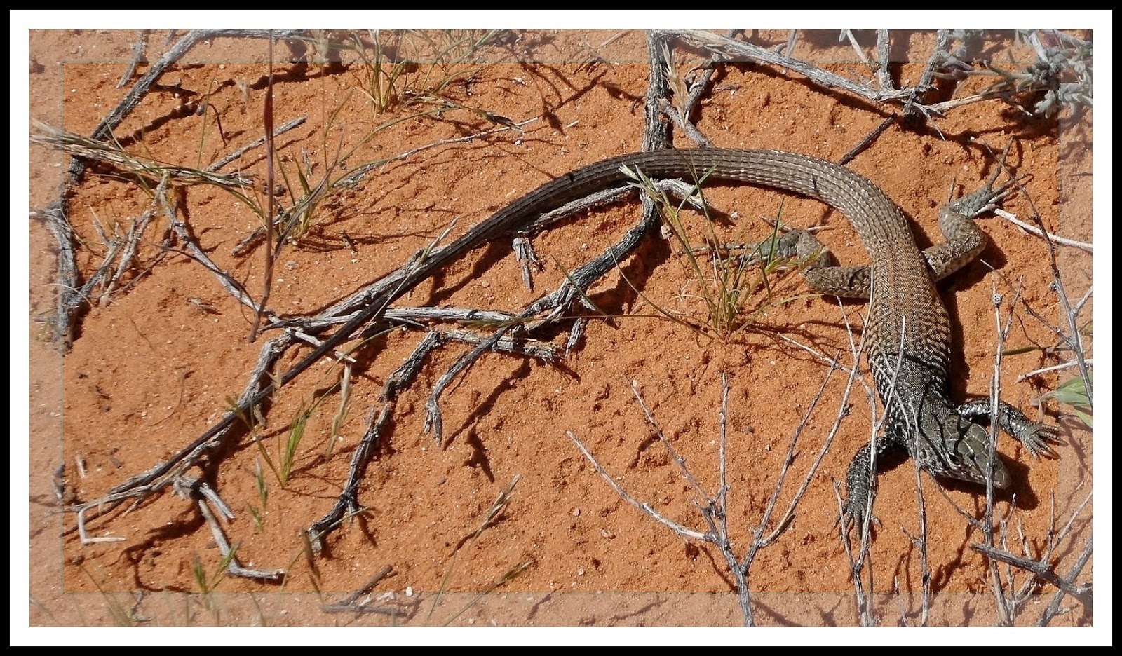
| (Fig. 05) |
 |
| (Fig. 06) |
 |
| (Fig. 07) |
 |
| (Fig. 08) |
 |
| (Fig. 09) |
 |
| (Fig. 10) |
 |
| (Fig. 11) |
 |
| (Fig. 12) |
 |
| (Fig. 13) |
 |
| (Fig. 14) |


 On 04/17/2016 I attended the first of a two-day, free training class on Manual Photography taught by Sharon K. Schafer. The first day covered the many available features, modes and settings of digital cameras, concentrating on using the cameras "manual" settings for taking pictures. During the field portion of the class I divided my picture taking time between pictures of the grounds' flora and pictures inside the Butterfly Habitat enclosure at the far end of the property. I created two separate posts for the pictures I captured on this visit; a page titled, Springs Preserve (Spring Flora Blossoms), and a second page titled, Springs Preserve (Butterflies & Birds).