{Click on an image to enlarge, then use the back button to return to this page}
This page last updated on 11/20/2018
 |
| (Fig. 01) View of Gold Point taken from a hillside west of the town |
 |
| (Fig. 02) |
 |
| (Fig. 03) |
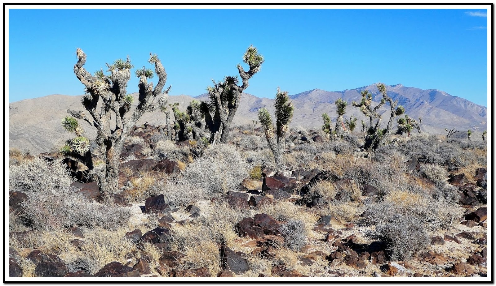
Directions: The town of Gold Point (Fig. 01) is about a three plus hour drive from Las Vegas. Drive North on US 95 approximately 165½ miles. About 15 miles past Scotty's Junction, turn left (west) by the Cottontail Ranch onto Route 266 (Lida Rd) and go about 7 miles and turn left (south) onto Route 774 (Gold Point Rd) refer to (Fig.03). You can see Gold Point in the distance when you turn onto Gold Point Road (Ref. 02). It is just 8 more miles to the town.
Description of the Area: Gold Point is located at the southern portion of the large, relatively flat Lida Valley in Esmeralda County. Esmeralda County is one of the original counties of Nevada and was founded November 25, 1861. Gold Point is the southern terminus of Nevada State Route 774. The elevation of the town is around 5,368 feet. The old camp is a living history lesson with about 50 buildings still standing, including former Senator Harry Wiley's home and the post office that now serves as a museum. The hills surrounding Gold Point, called Slate Ridge, is pot marked with hundreds of played out prospects and old mine shafts.
 |
| (Fig. 04) Click on map to enlarge |
All of the mines found here are part of the Gold Point District of Esmarada County. As mine information for Gold Point and Esmarada County is sparse and lacking, I cannot make any claim that the mine information noted on this page is accurate. The dozens of old mines, shafts and prospects are just open shafts, most with with no structures remaining (Fig. 04). A few still have their head-frames; fewer still have any buildings. The major mines were the Great Western Mine and Mill (a.k.a.Ohio) tucked away on a hillside south of Gold Point (
Great Western Mine & Mill), the Dunfee Mine southeast of the town (
Dunfee Mine), and the Townsite Mine located at the south end of town, across the road from the Hornsilver Telephone building (currently a saloon) (
Townsite Mine). See pictures and a description of our visit today under "11/15/2018 Trip Notes" below.
Gold Point Town History: The town of today (Fig. 01) was settled originally by a few ranchers and miners in the 1880's at a small camp located at a small outcropping of limestone and that was called Lime Point. When silver was discovered in the area in 1902 it was renamed Hornsilver. Due to the scarcity of water, the ore had to be processed nearly 250 miles away. Because of the minimal amounts of silver mined, the costs of shipping and processing were to high, and, the settlement was abandoned after a year.
 |
| Photo copied from Gold Point Ghost Town History Page |
In 1905 a rich vein of silver was discovered a half mile southeast of Hornsilver. As the deep ore bodies of this discovery became extensively developed, this new camp grew to nearly 800 to 1,000 people with over 225 wood framed buildings, tents and shacks, and eventually grew into a town. It flourished for about a year. There were at least 11 saloons, a post office, telephone service and a newspaper. Unfortunately, this boom-town also proved to be short lived and before long most of the businesses closed and its residents again moved on.
However, in 1915 mining operations resumed again. In 1922, the Ohio Mine and Mill a.k.a. the Great Western Mine was Hornsilver’s greatest producer, with a recorded production of over $500,000. This was with the price of gold at $20.00 an ounce and silver at 59 cents an ounce. Then in 1927, J. W. Dunfee discovered gold. Within a few years, more gold than silver was being mined. To induce more growth and encourage investments, the name of the old camp was changed to its present day name of Gold Point. Since no strategic metals were being mined here when the United States entered the Second World War, the government ordered all gold mines to be shut down as being nonessential to the war effort with the enactment of War Order L-208. The result, mining efforts ceased, and once again most of its residents drifted away or went off to war.
After the war mining resumed on a smaller scale and continued until a major cave-in from a dynamite blast at the 1,000 foot level in the 1960s at the Dunfee Shaft, causing the mine to close. This became the last major mining operation. For the next 10 years, Gold Point was basically a Ghost Town and would have blown away piece by piece like so many other towns of the Old West had it not been for the loving and watchful eye of Ora Mae Wiley and her friends. The couple also operated a little general store and a Standard Gas station. Ora Mae was Postmistress in Gold Point from 1940 to 1964. In 1967 the 4th class Post Office closed. Slowly, a newer generation of Gold Pointers started moving into town. Today we boast of a population of 6 full time residents and as many as 6 part time. Today it is listed as one of Nevada's Historical Markers.
 |
| (Fig. A) |
11/15/2018 Trip Notes: Today Bob Croke and I drove to the town of Gold Point to capture some of the history of this 138 year old ghost town. When you get here the question is, "Where dose one start?" (Note: The locations to many of the pictures listed herein can be found on the map in Fig. A above) We decided to go visit one of the town's largest mines, the
Seibeck mine due west of the Saloon (Fig. 05). We must have spent more than an hour just touring the remaining mine structure, the adjoining processing mill and the surrounding area trying to figure out how it all functioned back in its day. First there was the head-frame of the mine itself (Figs. 07 & 08). then there was the adjoining processing mill (Fig. 09). Seeing what looked like a fenced mine, I then climbed the hill behind the mine to investigate. When I got to the top I found a deep shaft (Fig. 09) encased with barbed wire. As I turned west and looked down the hill I could see nearly a dozen openings of additional shafts and adits that beckoned additional exploration (Fig. 10). After leaving this area we spotted a large of pilings on the side of the hill that looked inviting (Fig. 11). So we decided to hike up to it and explore it. When we got to the site we found some equipment above the mine opening that appeared to have run a belt that hauled the ore from the mine below it (Fig. 12). The mine's head-frame had collapsed years ago (Fig. 13). From the amount of tailings as this site, it appeared that this mine had a very deep shaft. On a hill near the Seibeck Mine, there was a mine opening that you were actually able to enter and explore (Fig. 14). As I entered the mine, it bore straight back into the hill above it (Figs. 15a thru 15c). You can enlarge each of these three pictures full-size by clicking on each. (notes con't below)
 |
| (Fig. 05) Shown on MAP in (Fig. A) |
 |
| (Fig. 06) |
 |
| (Fig. 07) |
 |
| (Fig. 08) |
 |
| (Fig. 09) Shown on MAP in (Fig. A) |
 |
| (Fig. 10) |
 |
| (Fig. 11) Shown on MAP in (Fig. A) |
 |
| (Fig. 12) |
 |
| (Fig. 13) |
 |
| (Fig. 14) Shown on MAP in (Fig. A) |
 |
| (Fig. 15a) |
|
 |
| (Fig. 15b) |
|
 |
| (Fig. 15c) |
|
Notes Continued: After climbing down from this site (Seen in the collage above) we drove to another of the town's large mine sites, the
Great Western Mine (Fig. 16). There were a lot of structures still standing at this site. The head-frame was still standing (Fig. 17). There was a large empty building (see the collage in Fig 18) that contained equipment that was needed to run what appears to have been the adjacent leaching tanks (Fig. 19) that contained cyanide to separate the gold and silver from the ore.
Side Note - Cyanidation: To isolate pure gold, mining companies used a complex extraction process. The first step in this process is breaking down large chunks of rock into smaller pieces. At a mill, large machines known as crushers reduce the ore to pieces no larger than road gravel. The gravel-like material then enters rotating drums filled with steel balls. In these drums, the ore is ground to a fine slurry or powder. Next, mill operators thicken the slurry with water to form pulp and run the pulp through a series of leaching tanks. Leaching dissolves the gold out of the ore using a chemical solvent. The most common solvent was cyanide. As the cyanide and oxygen react chemically, gold in the pulp dissolves. When workers introduce small carbon grains to the tank, the gold adheres to the carbon. Filtering the pulp through screens separates the gold-bearing carbon.
Just beyond the three leaching tanks is a wide area of what appears to be the slurry tailings from the cyanide process (Fig. 20).
Side Note - Mine Tailings: Over the past several years I have heard several terms to describe the discarded material removed from the digging of a mine; tailings, overage, overburden, waste rock and left over ore. Obviously the tailings' size and composition depends on the mining extraction method and the post processing of the removed materials. Tailings are distinct from "waste rock", which is the non-ore rock which miners remove and discard as they dig down to access the underlying veins of metal ores. They are also distinct from soil and organic matter (collectively known as "overburden"), which is removed from the surface above the ore deposit. Most of the materials visiable outside of mines contain both "overburden" and "waste rock". The ore removed from a mine is usually taken to a mill that further processes it to remove the metal from the ore. In the 19th century toxic materials were used to extract the valuable materials from the ore, the most common being cyanide. For hardrock metal mines, the ore is crushed into slurry powder. It is then leached through several tanks containing cyanide to separate the valuable minerals from the concentrate. The result tailings are a very toxic mix of water and mud like material containing cyanide and additional metals and other chemicals leached from the surrounding rock. These tailings were generally discarded onto the surrounding ground directly below the mill operation. Because rock may naturally contain dangerous chemicals, such as arsenic and mercury, it eventually leaches into the ground contaminating the water table.
Bob climbed up on a hill overlooking the mine site to investigate what appeared to be a water tank (Fig. 21). As water was scarce I'm not sure where they got the water needed for these milling operations, but I read something that noted water was carried/piped in from Lida, a town northwest and miles from Gold Point.
Side Notes - Lida NV: Lida, Nevada is a small ghost town in Esmeralda County, Nevada. The first settlement at Lida was made in 1871. Prospectors organized a mining district in 1867 and laid out a town in 1872. Soon stores, shops, stables and a post office was in operation at Lida between 1873 and 1932. After 1880 mining declined. Like other mining towns in Esmeralda County, its population sharply declined once the mines were exhausted. The site now rests on private property. Artesian Spring Waters flow throughout the various springs in this area of Esmeralda County. A major water source for Esmeralda County - a water company was formed with thousands of acre feet of water – Goldfield Consolidated Water Co. They supplied water all the way to Goldfield via pipelines for both residential and the mines in Goldfield and Lida areas. Said water company is no longer in business but, there is lots of water in the area. I also assume it provided water to the town of Gold Point about 7-10 miles away.
After exploring this mine we decided to go back to town and have lunch at the Saloon (Fig. 22).
The 110-foot long saloon is the centerpiece of Gold Point. it is lined with historical artifacts on the outside, and inside boasts a player piano, shuffleboard and an old 1909 Brunswick billiard table (Fig. 23). It main bar offers limited food and a choice of more than a dozen different beers. Walt Kremin, one of the towns' owner acted as our bar tender and provided us with a history of the town, and thoughts on the BLM's recent sale to the County, government, taxes, politicians and a dozens of other colorful stories. He was the only person we encountered all day and thoroughly enjoyed meeting and talking with him.
Side Note - Town Ownership Background: In 1978 Herb Robbins and his buddy, Chuck Kremin, pulled into the ramshackle old town of Gold Point. They later purchased 3 lots for $500 a piece. Kremin took one and Robbins took two, and a few months later, they were part owners of a few empty lots in Gold Point. Once Robbins got the lots, he got hooked, and his love affair with Gold Point began. He and partner Walt Kremin have been buying and rehabilitating structures around town ever since. It's been an expensive hobby, supported in part by Herb’s wallpapering of the hotels arising in Las Vegas, plus a rather miraculous string of slot machine jackpots, plus endless labor. In 1981, Herb Robbins partnered with Chuck Kremin and Chuck’s brother Walt to buy the old post office, the general store and the home of former state Sen. Harry Wiley. The price included all the antiques and furnishings. Chuck Kremin soon stepped back from an active role, but over the next 10 years, Robbins and Walt Kremin continued to buy any and all the buildings that were available no matter what their condition. Their plan was no more grandiose than to save a bit of Old West heritage. Robbins and Kremin have spent years going through mining shacks, homes and businesses, trying to stabilize and rehabilitate them. They have re-roofed structures, gutted interiors and added framing, drywall, insulation and electricity. They have decorated the cabins with old-fashioned wallpaper and furnished them. Robbins and Kremin say they’ve spent far more than they could hope to recover in a lifetime. Such is the price to preserve and share history
For over 30 years now Walt and Robbins, with many thousands of dollars of their own money, have been purchasing building materials and working on all the different cabins and buildings. It takes thousands of dollars to rebuild and preserve even a small old miner’s cabin, and they have 12, not to mention the other bigger buildings, so it’s been a slow process. Each year they find the price of wood products continuing to climb. It takes a lot of different materials to save a cabin. The only thing they generally do to the outside is put on a roof. They try not to put on any new wood unless absolutely necessary. Rolled asphalt roofing is usually applied first. Then as they get the extra money they put on the cedar shingles. Inside is a little more complex. These 100 year old cabins and buildings were built without any framing like they build today. The walls are only as thick as the 1 x 12 inch board and bats that were used. They go in and strip the walls down to the original walls and then build a 2 x 4 frame inside. This stabilizes the cabin tremendously. They can then install the electrical wires, insulation, sheet rock, paint and/or old newspapers or old fashioned wall paper, carpet, curtains and finally furniture. Besides their own labor they are very grateful that they have what they call our Friends of Gold Point who occasionally come and donate their time helping them.
The Bed and Breakfast idea came a few years ago when they finally took the suggestions from different friends to let other ghost town enthusiasts stay in the old cabins that they had fixed up and take donations from them to help purchase more building materials. Throughout the year they are constantly purchasing building materials with this money along with their own hard earned cash. Living here, may sound like a romantic notion to some, but make no mistake, it’s hard. It’s a 60-mile drive to get groceries. The nearest Walmart or Home Depot is a couple of hours away at best. Before cell phones, residents had to drive about a dozen miles to the now closed Cottontail Ranch brothel to use a pay phone. Now they have some service, and they have satellite TV. And what happens when Robbins and Kremin are physically spent and can no longer maintain Gold Point? Both are in their 60s now and have cut back on many of the activities they used to do in the town. “When the time comes, everything goes up for sale, not necessarily to the highest bidder but to the person who takes care of it the best,” Robbins said. “Buy it all, we’ll sell you everything with one condition.” That condition is that they have to live here until they die.
 |
| (Fig. 16) |
 |
| (Fig. 17) Shown on MAP in (Fig. A) |
 |
| (Fig. 18) |
 |
| (Fig. 19) Shown on MAP in (Fig. A) |
 |
| (Fig. 20) Shown on MAP in (Fig. A) |
 |
| (Fig. 21) Shown on MAP in (Fig. A) |
 |
| (Fig. 22) Shown on MAP in (Fig. A) |
 |
| (Fig. 23) |
Notes Continued: As time was getting short before our 3 hour drive back to Las Vegas, we tried to squeeze in a few more pictures before leaving town. The saloon, along with the post office and several other restored buildings line its tiny historic main street. Next to the Saloon is the old Post Office and museum with one of the town's two fire engines (Fig. 24) parked out front. On the opposite side of the town's main drag the are several unique structures including the old gallows, assayers building, the bordello, jail and others (Fig. 25). We the captured two more mine head frames, the
Townsite Shaft of the Orleans Mine (Figs. 26) and the
Orleans Mine (Fig. 27), and an unknown mine (Figs. 28 & 29). The picture in (Fig. 29) is what the site in (Fig. 28) once looked like with all its buildings and headframe. The old shack in (Fig. 30) is on the south edge of town. Even though there was still much to see, many mines to explore and pictures to take, we had to begin the three hour drive back to Henderson. I can't wait to come back and bring my friend Harvey Smith.
 |
| (Fig. 24) Shown on MAP in (Fig. A) |
 |
| (Fig. 25) |
 |
| (Fig. 26) Shown on MAP in (Fig. A) |
 |
| (Fig. 27) Shown on MAP in (Fig. A) |
 |
| (Fig. 28) Shown on MAP in (Fig. A) |
 |
| (Fig. 29) Shown on MAP in (Fig. A) |
 |
| (Fig. 30) |
Note: Every attempt is made to provide accurate information on the posts made on this site, but occasionally depictions may be inaccurate due to error of available information at the time of posting, mapping, navigation or cataloging. The information on this site is provided without any warranty, express or implied, and is intended for informational and historical purposes only. Any reliance you place on such information is therefore strictly at your own risk.


