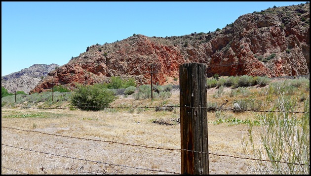
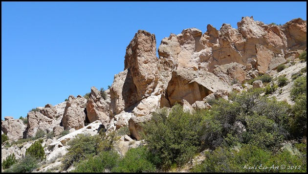
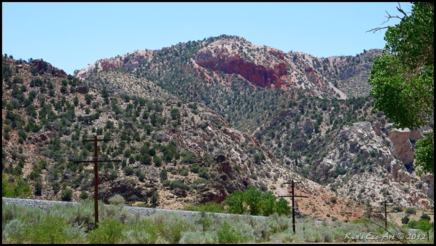
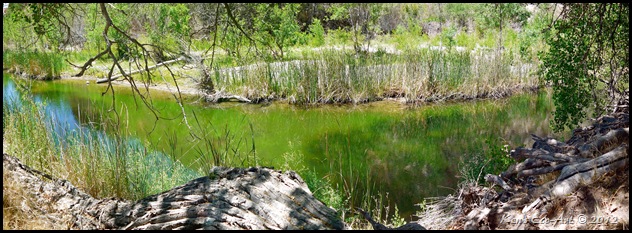
 |
| Fig. 01 |
|
 |
 |
09/23/2016 Trip Notes: Today, Robert Croke and I drove to Delamar Valley to meet up with Harvey Smith for a trip out to the 124 year old ghost town of Delamar. It was an absolutely beautiful day that provided us all with a unique exploring experience. I had so many pictures from today's visit, I was forced to create a separate page. Click here to view the pictures and a description of today's visit ... Delamar Nevada - 09/23/2016 Trip Notes.
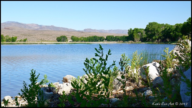
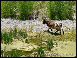
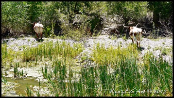
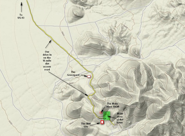
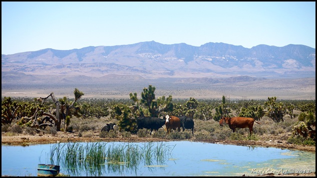
06/18/2012 Trip Notes: After leaving US-93, the first 10 miles leads you along a power line that stretches across the relatively flat Delamar Valley (refer to above map). Crossing over two cow guards prompted Harvey to say, “Why do they have cow guards way out here in the middle of nowhere?”. Well, less than two miles further down the road we came across a watering hole (Figure 02) and low and behold, cattle! |
 |
| Fig. 02 |
|
| The next thing you encounter, before your climb up into the mountains, is a graveyard containing at least a half-dozen headstones (Figure 03) for what might have been some of the towns more wealthier residents, some of which distant relatives still visit today. Left to right: Grave of Richard Gordon (who died at 50), Born Mar 8, 1857, Died Nov 22, 1907; Grave of Fred A. Horn. Inscription on pillar reads: "In Loving Memory of Fred A. Horn (who died at 19). Son of Agnes and ..." (marble pecked away) ... "August 3, 1893 to March 25th, 1912. Dearest Fred, thou hast left us here, thy lost we deeply feel, But tis God that hath bereft, he can all our sorrows heal."; Grave of Etta E. Frank, 1873 to 1896. Photo taken April 13, 1999. |
 |
| Fig. 03 |
|
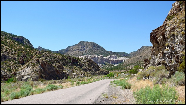
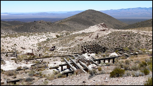
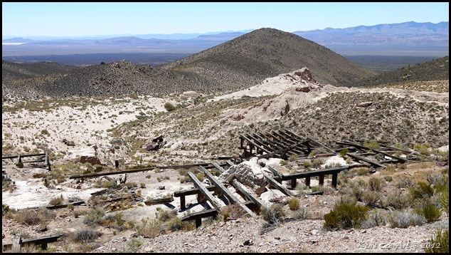
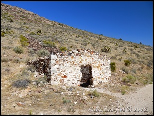
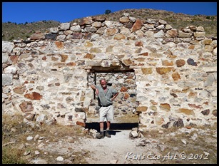
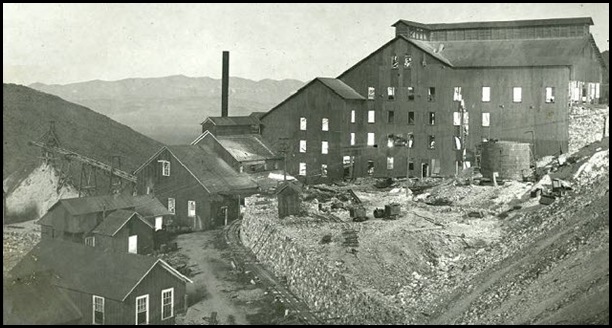
| The last two miles were steep, sandy and quite narrow and rough in places, requiring us to ‘pop’ into 4WD. When the road reaches its high point, it provides you with a view of the valley and town ahead. It then turns left and begins a descent that wanders past the ruins of the movie/opera house (Figures 04 & 05), mill floor girders, mine dumps, stone ruins, open glory holes, scars of diggings and black tunnel mouths. Unprotected by walls or a roof for many years, the huge wooden beams (Figure 01 – Top) that supported the floor of a once large wooden mill lie disintegrating just below the road, Most of the original buildings, built of canvas and wood, succumbed to fires, the scourge of most early mining towns. When people rebuilt, they used stone that was easily quarried from the area. The archival photo in (Figure 06) shows what the original mill used to look like before it was destroyed by the big fire of 1900. Looking at the ruins in (Figure 01) it is hard to imagine that a building of this size once adorned this hillside. Notice the pile of quartzite dust tailings (at the left side of the picture in Figure 06). This same pile can be seen near the center of (Figure 01 – Top). |
 |
| Fig. 04 |
|
 |
| Fig. 05 |
|
|
 |
| Fig. 06 |
|
Today, the only thing left in this abandoned ghost town are two graveyards and the foundations of its many semi-intact ruins. Weather and vandals have taken a toll on the remains of Delamar. Unfortunately, the graveyards have been vandalized and much of the area surrounding its crumbling buildings and homes has been picked clean of the many artifacts indicative of mining and habitation here. Up to just a few years ago several of the old stone buildings remained standing, but according to an area resident, these buildings have sadly been taken apart, stone by stone, by vandals hoping to find something hidden in the walls. Few Ghost Towns still have artifacts and buildings around due to vandals and people stealing the artifacts to bring home and decorate their landscape with. Soon there won’t be anything left of most of these places except for the pictures of what was.
Though the main mine shaft has been blasted closed, the area is still honeycombed with numerous open audits, mines and mineshafts. We found one deep vertical shaft that might have been the Jim Crow mine. It appears that the tailings that dominate the skyline are from the April Fool Mine. If you travel up to the "Glory Hole" at the top of the area, there is a stone cabin in great condition near some more old mine adits & shafts. One contains a winze (vertical shaft inside an adit) with a wooden beam winch foundation. Though we saw the stone cabin at the top of the mountain, we didn't have the time to hike to it. Just before you get to the town proper, there is a mine shaft (Figure 07) on the left side of the road that we couldn't resist. Understanding the dangers, we decided to only venture in about 40 feet. A light showed that this shaft continued for quite a distance, well into the mountain. |
 |
| Fig.07 |
|
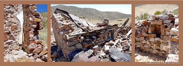
| Rounding the bend in the road after this you are presented with views of the hillside, looking up toward the main mine, that are filled with dozens of foundations for what were homes and business along the main entrance road. Though many of these structures were single standing, several appeared to be connected (Middle picture in Figure 08), giving them the appearance of ‘apartment’ houses. Another thought is that being connected, they only had two exposed walls, with one backing up to the hillside, which would have made them feel much warmer in the winter months. (Figure 09) provides a few shots showing some of the construction details for these buildings. Each of these houses had very thick walls, sometimes more than a foot thick. As you can see (left picture), some had plastered walls on the inside. Most had wood framed windows and doors (center picture) with corrugated metal roofs supported by wooden beams. The picture on the right shows an inset in the wall, which would have been colder in winter and might have been used to store food. |
 |
| Fig.08 |
|
 |
| Fig. 09 |
|
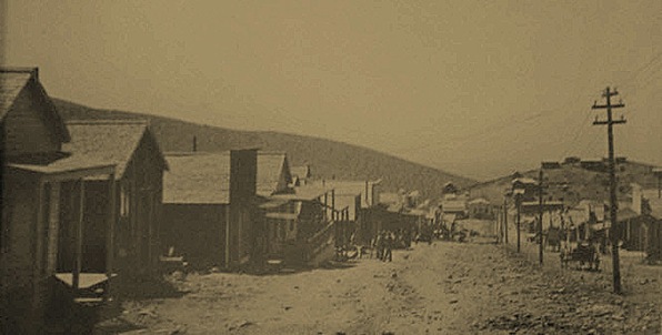
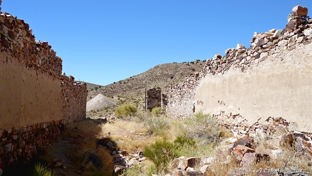
The eastern end of town appeared to be what was the “main drag”. Refer to the archival photo in (Figure 10). Walls and foundations for the buildings at the end of this street, were much larger, giving the appearance of businesses. Several were two story and had safes (Figure 12) either still lying in the basement or nearby. One still has the remains of a huge steel hinge and frame (Figure 11) that must have provided a very secure entry. We thought it might have been a bank or assayer’s office. It is interesting to note that if one was intent on robbing any of these places, they would have to pass the mill and the entire town, both on the way in and out, with little chance of ever getting away. The archival photo in (Figure 10a) shows just how big the town was at its zenith.
|
 |
| Fig. 10 |
 |
| Fig. 10a |
|
 |
| Fig. 11 |
|
 |
| Fig. 12 |
|
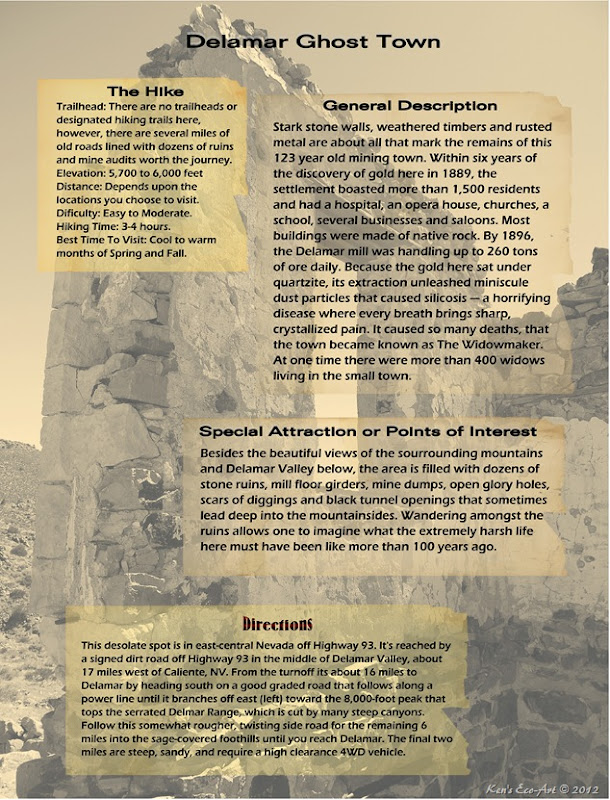
More Town History: In 1889, prospectors John Ferguson and Joseph Sharp discovered gold around Monkeywrench, Wash. Gold and silver seekers rushed to the isolated and treeless region, creating a mining camp (tent town) west of the Monkeywrench Mine called Golden City. Shortly thereafter, another town named Helene was created that had a newspaper, The Ferguson Load. Eventually the town was named Ferguson, named after John Ferguson. In 1892, the Ferguson Mining District was formed. Before long, reports came into Pioche that assays of $75 to $1000 a ton of ore was being mined there, resulting in the first rush of miners stampeding to the district. In April 1894, a wealthy Frenchman, Captain Joseph Rafael De La Mar of Montana bought most of the important claims in the area for $150,000 and renamed the Ferguson camp as Delamar, establishing the early settlement of the town. In the same year, a newspaper called the Delamar Lode began publication and a post office was opened in June of 1894. By the end of 1895, the camp had become a full-fledged town containing many businesses and more than 300 dwellings.
By 1896, the 50-ton Delamar mill was handling up to 260 tons of ore daily. Supplies and materials traveled by mule team over mountainous terrain from the railroad head at Milford, Utah, which was 150 miles from Delamar. In 1897 a 400-ton cyanide mill was also built to keep up with the demand for milling. By the end of 1897, Delamar was the leading producer of gold in Nevada. it boasted a population of 1,500 (some accounts say 3,000) along with several businesses (including saloons and a hotel), and a combination theater/opera house. There is no large-scale source of water near Delamar, and as a result water had to be carried in by mule wagons from a stream 12 miles away. Other supplies had to be transported from a railhead in Milford, Utah, which was over 150 miles away. Because the of the demand for water created by the cyanide mill, water for the camp was pumped from a well in Meadow Valley Wash, some twelve miles away and 1,500 feet lower. The three and half inch pipeline had three booster stations and only produced a forty-gallon a minute supply for the town, which was very inadequate to help the mills. Imagine how grim life must've been there when the mines were in operation.
Dagger Dust: The particular strain of gold here sat under quartzite. Extracting the gold meant unleashing miniscule quartzite dust particles, which led to the debilitating and often fatal lung disease silicosis — a horrifying disease where every breath brings sharp, crystallized pain. Delamar always suffered from lack of water. Tiny springs nearby proved inadequate. Even though a pipeline with several pumping stations brought water over the mountains from Meadow Valley to the east, it was barely enough for human needs, let alone fighting fires or settling the dust in the mines and mills. Because water was so scarce, "dry mining" techniques were used which, due to a lack of good ventilation, produced clouds of this fine dust in the mines. Over just a few short years, many miners and other residents died from lung diseases, and Delamar became known as "the widowmaker." But because wages were high for the time (over $3 a day!), there were plenty of young men willing to take their chances in the mines. Doctors, who were scarce in these parts during Delamar’s heyday of a century ago, said you could feel death approaching whenever a victim inhaled or exhaled. The deaths happened so fast that at one time, there were over 400 widows living in the small town.
The deaths from silicosis eventually led the towns demise. Then a big fire in the spring of 1900 destroyed the wooden buildings in town and the wooden roofs on many of its stone buildings, about half the town. After that it was only partially rebuilt. In 1902, Capt. DeLamar sold his interest in the mines which had produced an estimated $8.5 million in gold. As gold production slowed, many of the town’s residents moved on to the new boom town of Tonopah, Nevada. The new owners, under the control of a Simon Bamberger, built a new 400-ton mill in 1903. This kept Delamar third in the ranks with Goldfield and Tonapah leading. In 1909 all of a sudden, Delamar died an abrupt death when the veins of gold ore suddenly tapped out and the operation was closed. Not long after, Delamar died for good. The site was reopened briefly from 1929-34 and there was some evidence of a mining operation up until the end of the 20th century. |
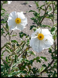
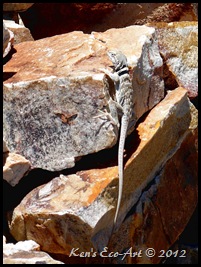
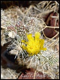
Even though the colors of the day were mostly rust and earth tones, I did manage to capture a couple of shots (Figures 12, 13, & 14) that exhibited a little color. The little guy in the middle (Figure 13) is a Great Basin Collared Lizard (Crotaphytus bicinctores). (click on the name to learn more) |
|
|
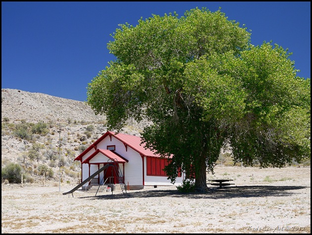
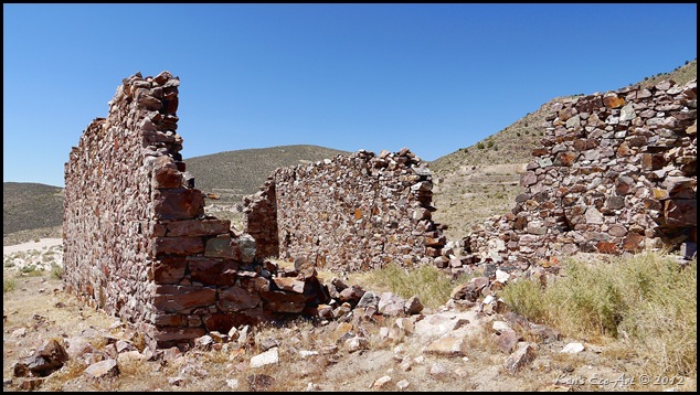
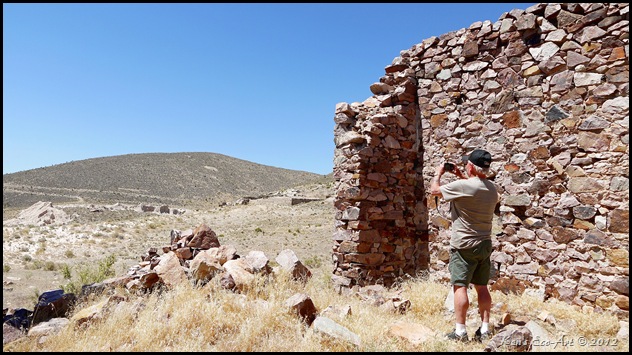
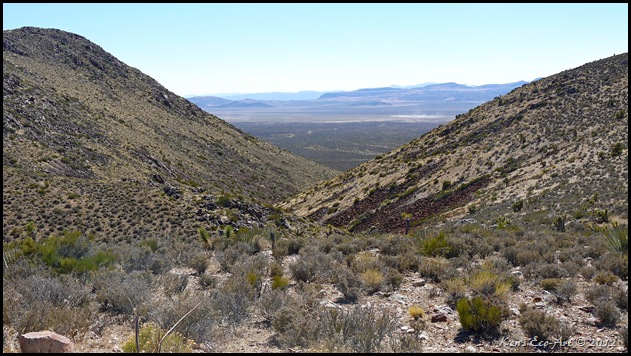
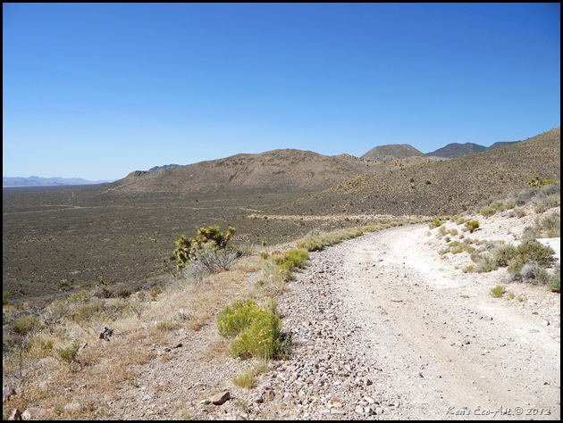
| (Figure 15) below is a shot of the building where we had lunch. We set up our chairs inside, in the shade of its southwest wall. The next picture (Figure 16) shows the view we had during lunch. The last two shots (Figures 17 & 18) were taken from near the top of the access road just west of Delamar on our way out. Needless to say, having spent nearly four hours hiking around the town during the hottest part of the day, we were quite done in. However, we can’t wait to make a return trip someday to this ever fascinating place. In the distance is Delamar Valley, nearly 600 feet below. The shot in (Figure 18) was taken from about halfway down as we approached the valley floor. |
 |
| Fig. 15 |
|
 |
| Fig. 16 |
|
 |
| Fig. 17 |
|
 |
| Fig. 18 |
|
|
|
 This was my 6th visit to the Valley of Fire, and I still was able to find locations that I had yet to visit. On this trip I made a one plus mile hike to the Fire Wave. Even though this was an exhausting 105-degree hike, this was without a doubt one of the most colorful and interesting places I have ever visited here. On our way out we also stopped at The Cabins, another location that neither of us had been to before. I added the pictures and info for these two locations to my existing Valley of Fire page and slideshow at … Valley of Fire State Park. Check it out!
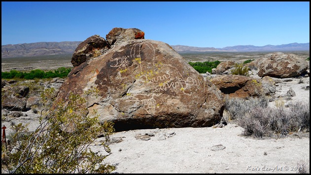
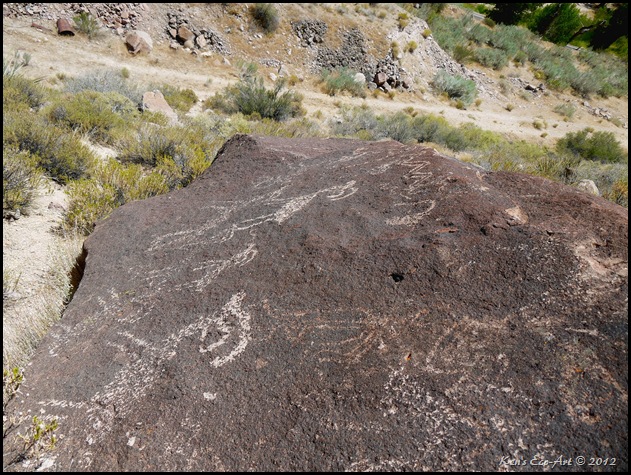
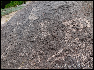
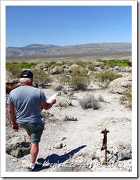 On the return from a week-long camping trip with Harvey Smith to Spring Valley State Park, 18 miles north of Pioche, NV, we made a side trip to the Ash Springs Rock Art Site at Ash Springs, Nevada. This site contained 18 separately identified panels located on the desert varnished rocks spread around a 1/3-mile long walking trail. Even though many are barely recognizable due to the constant deterioration caused by weathering from the natural elements of sun, rain and wind, there are several that are still well defined. Harvey led with a map to locate each of the Petroglyphs, while I followed along behind with the camera and snapped pictures. Check it out here … Ash Springs Rock Art Site.
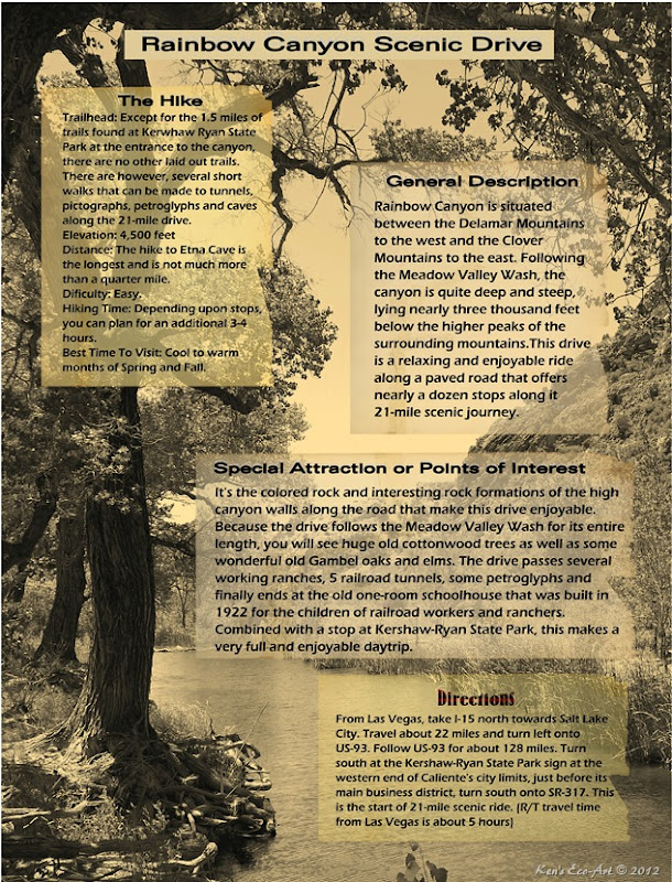
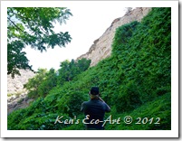 The third week in June I spent the week camping, four-wheeling, and hiking with my friend Harvey Smith. We camped at the Spring Valley State Park north of Pioche, Nevada. Over the course of the week we found and visited more than a half dozen different locations that provided hiking and photographic opportunities that were new to both of us. With more than 300 photos to cull through and edit, it will probably take me weeks to put together pages describing each one. On the third day of our trip we drove through Rainbow Canyon, located just south of Caliente. Because our first stop here, Kershaw-Ryan State Park, was so unique and enjoyable, I decided to create a separate page for it. This beautiful desert oasis even provided us with an early morning two mile hike to get the blood moving. Check it out here … Kershaw-Ryan State Park.
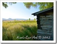 The third week in June I spent the week camping, four-wheeling, and hiking with my friend Harvey Smith. We camped at the Spring Valley State Park, 18 miles north of Pioche, Nevada. Over the course of the week we found and visited more than a half dozen different locations that provided hiking and photographic opportunities that were new to both of us. With more than 300 photos to cull through and edit, it will probably take me weeks to put together pages describing each one. On the ride up route US-93 to Spring Valley we made stops at several points of interest along the way. Our first stop being the Pahranagat National Wildlife Refuge. The marshlands surrounding its three lakes is an oasis for a wide variety of wildlife and provided numerous photographic opportunities. Check it out here … Pahranagat National Wildlife Refuge.
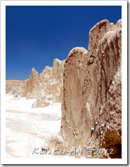 The third week in June I spent the week camping, four-wheeling, and hiking with my friend Harvey Smith. We camped at the Spring Valley State Park, 18 miles north of Pioche, Nevada. During the week we found and visited more than a half dozen different locations that provided hiking and photographic opportunities that were new to both of us. With more than 300 photos to cull through and edit, it will probably take me weeks to put together pages describing each one. For the first daytrip page, I decided to work on one of the more easier ones, our hike at Cathedral Gorge State Park. This location provided some of the most interesting and unique views of the entire trip. Check it out here … Cathedral Gorge State Park.