{Click on an image to enlarge, then use the back button to return to this page}
Updated 08/25/2018
 |
| (Fig. 01) |
 |
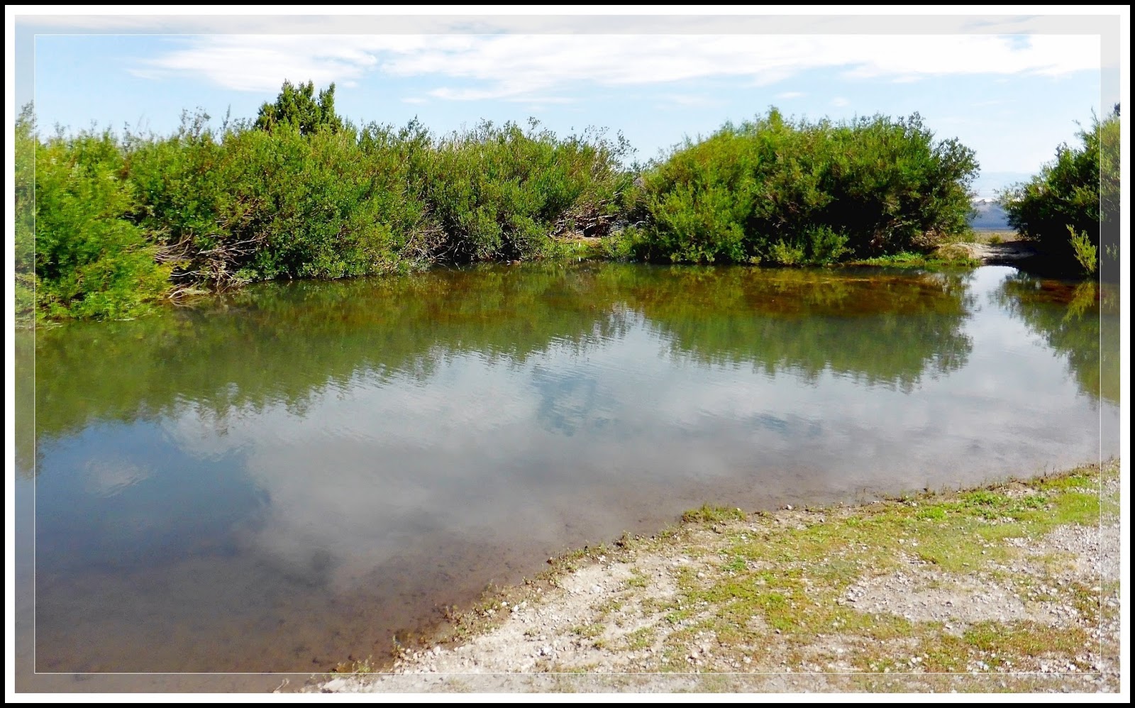
| (Fig. 02) |
Directions: From the Stratosphere Casino head northeast on Las Vegas Blvd about 3 miles and turn left onto US-93-95, keeping on the left for US-95 North towards Reno. Following US-95 North towards the Mt. Charleston area, drive 36 miles, past SR-156, the turn to Mt. Charleston (Kyle Canyon Rd.) and past SR-156 (Lee Canyon), and head as if driving to Indian Springs. Look for a small green sign on the freeway for Cold Creek (approx. 5 miles past Lee Canyon Ski Area Turnoff). Turn west of the freeway onto Cold Creek Road (SR-172) and drive up the mountain past the prisons (State, Federal, work camps) toward the town of Cold Creek (approx. 13 miles). When you reach the small upper pond (Fig. 01), continue on Cold Creek Road by turning right (Fig. 02). At this junction, the paved road that heads further up into town turns into Cedar Road. From the turn drive .07 miles (green) to the point on (Fig. 02) indicating where we parked. Begin here to walk to the spring.
09/13/2016 Trip Notes: Unfortunately, even though is was a beautiful sunny day, the winds were gusting up to 45 mph. The only thing that saved us was that the wash of the creek was somewhat protected by high banks on both sides. Only three of us decided to venture up the creek bed. The first quarter mile of the creek bed was totally dry. Then all of a sudden water appeared and was flowing at a pretty good clip. The picture in (Fig. 03) shows Bob and Mary as we hike up the creek bed. The further we walked, the more water we encountered (Figs. 04, 05, 06). Sometimes we walked in the water, sometimes we walked some of the trails that were on both side of the wash of the creek. The remainder of hikers either hiked nearby the van or stayed inside the van. To give you an idea of how windy it was, when we reached a somewhat open area, I placed my foot on a large rock to bend down and tie my shoe; I was blown totally over by the winds. (Con't below)
 |
| (Fig. 03 |
 |
| (Fig.04) |
 |
| (Fig. 05) |
 |
| (Fig. 06) |
Trip Notes Continued: The further we hiked the wider the creek became and the thicker the plants, brush and trees surrounding the creek became (Figs. 07 & 08). Also, we began to encounter more plants and vegetation (Fig. 09). As we got to the end we encountered an area that seemed to be where the spring was coming from (Figs. 11 & 12). Unfortunately, we were unable to venture any further because we had run out of time and had to return to the van. If you study the blue lines on the map in (Fig. 02), indicating Cold Creek, it seems to split here; one traveling due north, the path we hiked and another direction heading northeast towards the ponds. As a result, I am looking forward to a return trip in the future to investigate some more. The final two pictures (Figs. 13 & 14) were taken on the way back to the van and the parking area.
SIDE NOTE: Interestingly, we never saw a wild horse the whole time we were in the area, either today or on my last visit. I have learned that over the past year, the BLM rounded up more than 200 horses and has already euthanized 28 wild horses during the roundup in Cold Creek. They estimate more than 400 wild horses live in the area. They started the emergency roundup last year, saying the horses "are in very poor condition" because of the drought. They list a "poor prognosis for recovery" as the reason for the 28 euthanizations.
 |
| (Fig. 07) |
 |
| (Fig. 09) |
 |
| (Fig. 10) |
 |
| (Fig. 11) |
 |
| (Fig. 12) |
 |
| (Fig. 13) |