| I found the following information in a paper titled, TURQUOISE DEPOSITS OF NEVADA by Frank R. Morrissey, inside a report titled, NEVADA BUREAU OF MINES – Report 17 by Vernon E. Scheid, Director |
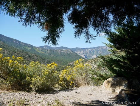
| “The Simmons or Crescent Peak mine is mainly on two patented claims known as the Aztec and Right Blue. It is about 12 line miles west of Searchlight in the basin on the south and west flanks of Crescent Peak. The principal workings are in the SW1/4 sec. 26 and NW1/4sec. 35, T. 28 S., R. 61 E.Host rock for the deposits is sheared, argillized granite and quartz monzonite that locally contains abundant vuggy quartz veins. Turquoise occurs as veinlet's and nodules, some of which are intimately associated with quartz veinlets. Turquoise has been taken mainly from two groups of workings. The first of these, on the south flank of Crescent Peak, consists of an adit about100 feet long, an open cut about 50 feet long and 20 feet deep, and an inclined shaft sunk from the open cut for about 200 feet at an angle of 50 NW.The shaft was caved in 1965. The second group of workings lies 300 to 500 feet southeast along the sides of a gulch. On the northwest side of the gulch there are two open cuts and an adit; the upper cutis about 20 by 40 feet long and 15 feet deep; the lower cut is about 50 feet long and 10 feet deep with short adits from it. Below the two cuts, there is an adit some 240 feet long driven northwesterly under the open cuts. On the southeast side of the gulch, a tunnel has been driven for about 150 feet with branching tunnels and stopes connecting to an open cut about 50 feet above. The open cut is about 60 feet long and 20 feet deep. Other smaller workings are scattered over the peak. The mine was discovered in 1889 or 1890 by a George Simmons, who camped by a large Joshua tree near the deposit after a heavy rain. The next morning he found a number of the bright blue turquoise fragments but discarded them after they failed to give strong indications of copper. About two years later, while in New Mexico, Simmons visited a turquoise mine and recognized the material he had thrown away. He left at once for Nevada, found the former campsite and Joshua tree, and set about tracing the fragments of turquoise “float” to their source. Following a trail up the side of Crescent Peak, he came to the source which proved to be the abandoned remains of a mine worked by the aborigines. Larger fragments of turquoise lay scattered about, together with abandoned stone chisels, wedges, and hammers. Below the mine workings Simmons found a leveled terrace on which there had apparently been workshops and quarters for the miners. Remains were found of rude dugouts with collapsed roofs of logs and brush. At one end of the site was a kitchen midden of broken pottery, at the other end was evidence of a lapidary shop with rubbing and polishing stones and a huge quantity of tiny turquoise fragments. From a study of the growth rings in the logs found in the fallen roofs, and a study of the implements, archaeologists estimated the mine must have been worked and abandoned 200 years before Columbus reached America.There was no sign of rock carvings or pictographs such as those found at the great aboriginal mining sites in California, hence it would seem this mine had been worked by a different people. The presence of the lapidary shop argued for an intelligence which realized the economy of transporting finished, or partly finished, turquoise from the site, rather than the rough ore with its waste rock. It is thought to indicate the miners may have been Aztecs or Toltecs. Simmons cleared out the pits and found the vein of turquoise, which turned from the vertical and dipped at a considerable angle. The aboriginal miners had followed this vein until the overhanging roof became a menace. There was no provision for safety in aboriginal mining. The usual way of extracting the ore was to build a fire against the face of the rock, then throw water on the hot stone,causing it to crack. Wedges were then driven into the cracks until the mass broke away. Simmons dug a quantity of turquoise from the mine and took it to London for appraisal. Assured of the quality and the probable price he could expect, he returned and expanded operations. Some of his turquoise was shipped to William Kley, at Denver, Colo.,through whom Simmons contacted William Petry,a German lapidary. Simmons hired Petry and ordered him to set up a fully equipped lapidary shop at the mine. After that, no more rough turquoise was sold. The bulk of the finished gems were sold to Woods & Lamont, wholesale gem dealers in New York City. The quantity and quality of the gems resulted in an offer from J. R. Woods, senior partner, and in 1896 Simmons sold the mine to Woods,remaining for a time in charge of operations. Woods patented the group of claims in the name of the Toltec Gem Mining Co. and continued operation for a number of years. Simmons left the mine after about a year, turning management over to Milton Mundy who was sent from New York by Woods. Mundy was not very successful, and Woods persuaded Simmons to return as manager. Simmons, en-route to Barnwell, Calif., was met by W. L. Miller, whom Simmons had discharged as mine boss. Miller shot Simmons dead with a borrowed Army rifle. Brought to trial in San Bernardino, Calif., Miller pleaded insanity and was acquitted. The Turquoise mine, as Woods renamed his property, was abandoned when the ore dwindled to a point where it could no longer be mined profitably at decreased prices. Since then a number of miners have worked the veins and abandoned them. The last owner and operator was O. R. Spear who bought the original claims at a tax sale. Spear died in 1965. The largest and most perfect stone found at the Simmons mine weighed slightly more than 200 karats when cut. Simmons had it set in a brooch,surrounded by diamonds, as a gift to his wife. There is no reliable estimate of the total value of turquoise produced from the Simmons mine, but it may have been in excess of $1 million; turquoise prices were high during the peak production, finished stones selling for $20 per karat. This estimate is also substantiated by the price Simmons is said to have received when he sold the mine. During operation of the Simmons mine, numerous occurrences of turquoise were prospected for a radius of about a mile from the main mine area. Today the many prospects attest to the vigorous activity, but none appear to have yielded substantial amounts of turquoise." |
Click here to return to [Crescent Peak Mine Road page] |
Sunday
Crescent Peak Mine (aka Wood mine; Simmons mine; Turquoise mine; Aztec claim; Right Blue claim)
Monday
Notes on Recent Site Maintenance
04/15/2020 - Changed the sites' Home Page. Removed the "Site Introduction" page and created a "New Look".
04/10/2020 - Updated the "Listed by Previous Year and Month pages.
06/17/2019 - Began making updates to slide shows no longer working by converting them to OneDrive. Started with by adding to Neon Museum, Smith Center and Lou Ruvo Center.
06/11/2019 - Made a variety of updates and corrections including some changes to the tabs across the tops of the pages.
02/10/2019 - Added a new tab titled "Pics by Location"
02/10/2019 - Deleted the tab for "Slideshows"
03/27/2018 - Created a page for placing pictures side-by-side (2000 February 1st)
https://kensphotogallery.blogspot.com/2018/03/pic-title-01.html
02/03/2018 - Organized where to store Reference pages and ReadMore pages for easy retrieval.
For year 2017 - Use July 1st (45) to store INDEX (Indices) for CATEGORIES
For year 2000 - Use January (8) to store TEMPLATES
- Use February 1st (13) to store (5) REF pages & (9) ReadMore
- Use March 1st (15) to store CHAPTERS of Book
01/20/2018 - Added a section on my Samsung S8 Phone Camera as a fourth camera to the "Equipment" tab.
01/15/2018 - re-titled tab to "Special Pics"
01/12/2018 - I deleted the "RoadTrips" tab and combined this info into the "DayTrips" tab and re-titled it "DayTrips/RoadTrips".
01/09/2018 - Updated the info in the new "DayTrips/RoadTrips" tab.
01/07/2018 - Created more Indices and added them to the "Pics by Subject" tab.
12/27/2017 - I updated the "Site Introduction" on the home page. I also made needed year-end changes and updates to the "Recently Added Pages" on the home page.
12/27/2017 - I updated, renamed and rearranged some of the Tabs across the top of the site. The new "Pics By Subject" tab that contains an consolidated alphabetical list of all the indices that can be found on this site. It also shows the number of pages that can be found on each of the listed subjects along with the date the index was last updated. The new "Misc Pics" tab shows photos of textures, effects & unusual compositions; methods for taking pictures; photos of people and portraits; and special project pictures.
12/27/2017 - In the process of updating the tabs I also edited and update many of the associated post, correcting mistakes or making them more accurate.
12/12/2017 - Started the process of converting slideshows from Cincopa to OneDrive. I updated the following pages:
Grand Canyon Railway - 2009 - 09/13/17 [SS] - Photography
Grand Canyon National Park - South Rim - 2009 - 09/17/17 - Photography
Sunset Crater Volcano National Monument - PDF - 2010 - 8/13/17 [SS] - Photography
Wupatki National Monument - 2009 - 8/20/2017 [SS] - Hiking-Photography
Grand Canyon National Park - North Rim - 2009 - 8/16/17 [SS] - Hiking-Photography
10/22/2017 - Made update to add the Daytrip - The Las Vegas Strip to appear on the index page for the http://kensphotogallery.blogspot.com/
10/22/2017 - Made updates to the index of ALL HIKES Listed by Previous Year and Month ...
10/01/2017 - Stopped using Cincopa when I realized I had to pay a monthly fee for using their slideshows.
08/14/2017 - This required me to review and update all of the folders that I was using to backup and store slideshows on both my E:/Working Pics and I:Master Backup.
08/13/2017 - Created two slideshows on Cincopa. I then embeded them into two Roadtrip pages;
PDF - Wupatki National Park, AZ - 2009 - 8/13/17 - Hiking-Photography [SS]
PDF - Sunset Crater Volcano National Monument, AZ - 2010 - 8/13/17 [SS] - Hiking-Photography
08/12/2017 - Began addressing the problem that Google retired Picasa. Even though I can still access my Picasa Web Albums data, including your tags, captions, and comments, at the Album Archive. Unfortunately neither Google Album Archive nor One Drive allow you to embed slideshows. As a result I had to find a site/program that could to this. The result was Cincopa.
08/06/2017 - Made updates to the page "Recently Added Pages" and the page "Listed by Previous Year and Month" page.
08/06/2017 - Added five new pages to the "Polyptychs - Index & Description (13 posts)" listing on the "Photos by Subject" tab
08/05/2017 - Added a new listing to the "Photos by Subject" tab titled, "Pareidoila Pictures - Index & Description (5 posts)"
08/05/2017 - Added a new page to this category titled, "Examples of Pareidolia"
04/10/2020 - Updated the "Listed by Previous Year and Month pages.
06/17/2019 - Began making updates to slide shows no longer working by converting them to OneDrive. Started with by adding to Neon Museum, Smith Center and Lou Ruvo Center.
06/11/2019 - Made a variety of updates and corrections including some changes to the tabs across the tops of the pages.
02/10/2019 - Added a new tab titled "Pics by Location"
02/10/2019 - Deleted the tab for "Slideshows"
03/27/2018 - Created a page for placing pictures side-by-side (2000 February 1st)
https://kensphotogallery.blogspot.com/2018/03/pic-title-01.html
02/03/2018 - Organized where to store Reference pages and ReadMore pages for easy retrieval.
For year 2017 - Use July 1st (45) to store INDEX (Indices) for CATEGORIES
For year 2000 - Use January (8) to store TEMPLATES
- Use February 1st (13) to store (5) REF pages & (9) ReadMore
- Use March 1st (15) to store CHAPTERS of Book
01/15/2018 - re-titled tab to "Special Pics"
01/12/2018 - I deleted the "RoadTrips" tab and combined this info into the "DayTrips" tab and re-titled it "DayTrips/RoadTrips".
01/09/2018 - Updated the info in the new "DayTrips/RoadTrips" tab.
01/07/2018 - Created more Indices and added them to the "Pics by Subject" tab.
12/27/2017 - I updated the "Site Introduction" on the home page. I also made needed year-end changes and updates to the "Recently Added Pages" on the home page.
12/27/2017 - I updated, renamed and rearranged some of the Tabs across the top of the site. The new "Pics By Subject" tab that contains an consolidated alphabetical list of all the indices that can be found on this site. It also shows the number of pages that can be found on each of the listed subjects along with the date the index was last updated. The new "Misc Pics" tab shows photos of textures, effects & unusual compositions; methods for taking pictures; photos of people and portraits; and special project pictures.
12/27/2017 - In the process of updating the tabs I also edited and update many of the associated post, correcting mistakes or making them more accurate.
12/12/2017 - Started the process of converting slideshows from Cincopa to OneDrive. I updated the following pages:
Grand Canyon Railway - 2009 - 09/13/17 [SS] - Photography
Grand Canyon National Park - South Rim - 2009 - 09/17/17 - Photography
Sunset Crater Volcano National Monument - PDF - 2010 - 8/13/17 [SS] - Photography
Wupatki National Monument - 2009 - 8/20/2017 [SS] - Hiking-Photography
Grand Canyon National Park - North Rim - 2009 - 8/16/17 [SS] - Hiking-Photography
10/22/2017 - Made update to add the Daytrip - The Las Vegas Strip to appear on the index page for the http://kensphotogallery.blogspot.com/
10/22/2017 - Made updates to the index of ALL HIKES Listed by Previous Year and Month ...
10/01/2017 - Stopped using Cincopa when I realized I had to pay a monthly fee for using their slideshows.
08/14/2017 - This required me to review and update all of the folders that I was using to backup and store slideshows on both my E:/Working Pics and I:Master Backup.
08/13/2017 - Created two slideshows on Cincopa. I then embeded them into two Roadtrip pages;
PDF - Wupatki National Park, AZ - 2009 - 8/13/17 - Hiking-Photography [SS]
PDF - Sunset Crater Volcano National Monument, AZ - 2010 - 8/13/17 [SS] - Hiking-Photography
08/12/2017 - Began addressing the problem that Google retired Picasa. Even though I can still access my Picasa Web Albums data, including your tags, captions, and comments, at the Album Archive. Unfortunately neither Google Album Archive nor One Drive allow you to embed slideshows. As a result I had to find a site/program that could to this. The result was Cincopa.
08/06/2017 - Made updates to the page "Recently Added Pages" and the page "Listed by Previous Year and Month" page.
08/06/2017 - Added five new pages to the "Polyptychs - Index & Description (13 posts)" listing on the "Photos by Subject" tab
08/05/2017 - Added a new listing to the "Photos by Subject" tab titled, "Pareidoila Pictures - Index & Description (5 posts)"
08/05/2017 - Added a new page to this category titled, "Examples of Pareidolia"
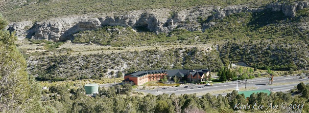
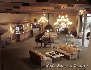
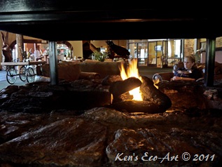
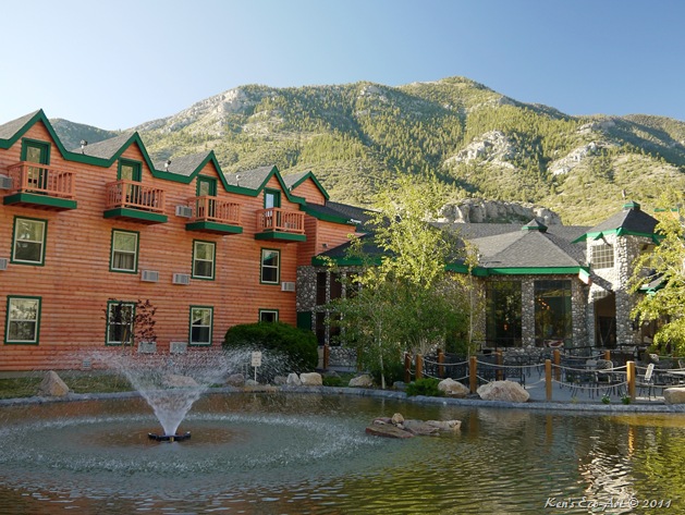
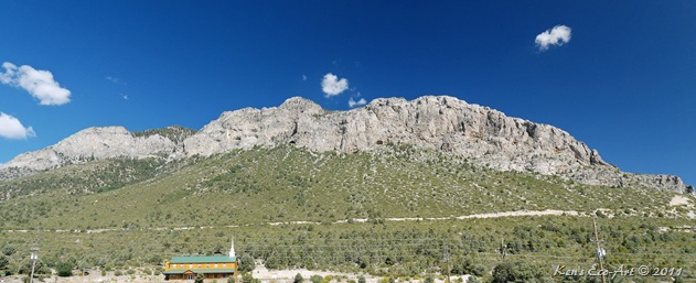
The Resort at Mt. Charleston
|
|
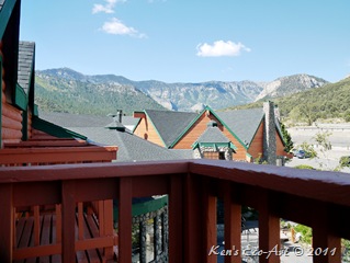
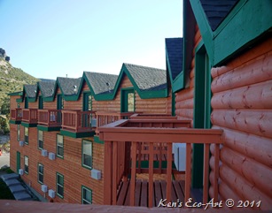
| After a full afternoon of photographing the Wild Horses at Cold Creek, and stops at the Desert View Overlook and Deer Creek Picnic Area for lunch, we were glad to reach the resort and begin a “wind-down” for the day. Oh, by the way, the bees were so bad at Deer Creek, that we had to end up eating our picnic lunch in the car. After check-in, we uncorked a bottle of wine and sat out on our room deck (Fig. 04) reading our books, enjoying the fresh mountain air and taking in the ever changing scenery and the setting sun. The great thing about this daytrip was that the temperature was 77 degrees almost all day, a good 20 degrees cooler than Las Vegas. | ||
| ||
| Our room was on the third floor and was the second room from the left in (Fig. 04) above. The next view (Fig. 05) is actually looking south towards the back of the lodge. (Figs. 06-08) are some more views from our deck. The first is looking towards the west; the middle picture was directly across from the lodge looking north | ||
| ||
|
|
| ||||
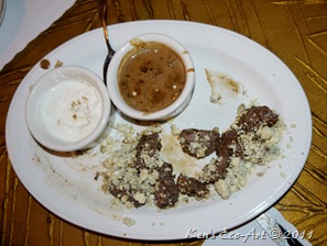
| We ate dinner at The Cut Above, their on premises restaurant. While our dinners were good, they were nothing to brag about. However, the real surprise was the “Fillet Tips” appetizer that we shared (Fig. 09). Fillet tips, sautéed with a port wine sauce topped with bleu cheese crumbs served with a creamy horseradish sauce and a creamy wine mushroom sauce. It was so good that we both wished that we had just ordered two of them and skipped ordering a regular meal. |
|
|
 |  |  |
Some More Peacocks
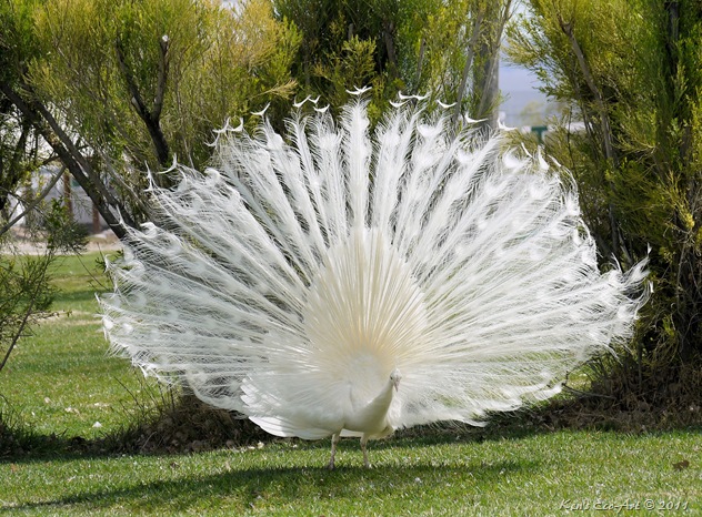 |
| Though many mistake this for an albino peacock, it's technically a white peacock, which is a genetic variant of the Indian Blue Peafowl. The slideshow below contains 21 more pictures of peacocks. For best viewing, view the slideshow in full-screen mode. Click in the middle of the running show. When the new browser window appears, click on the left side of the menu where it says "slideshow". |
[Return to Previous Page]
More Grapevine Canyon Petroglyphs
| ||||
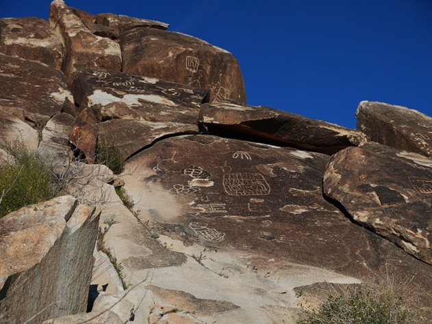
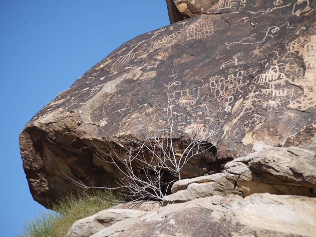
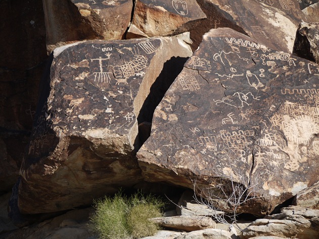
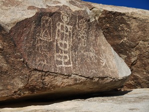
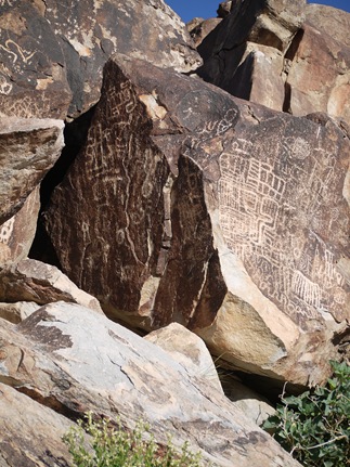
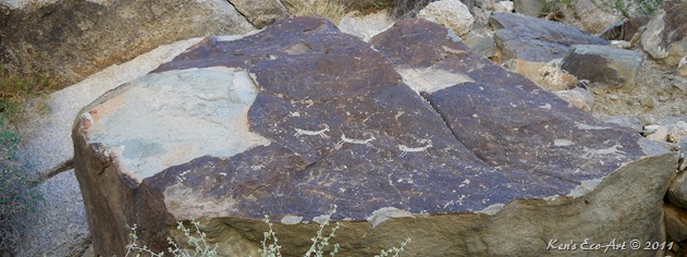
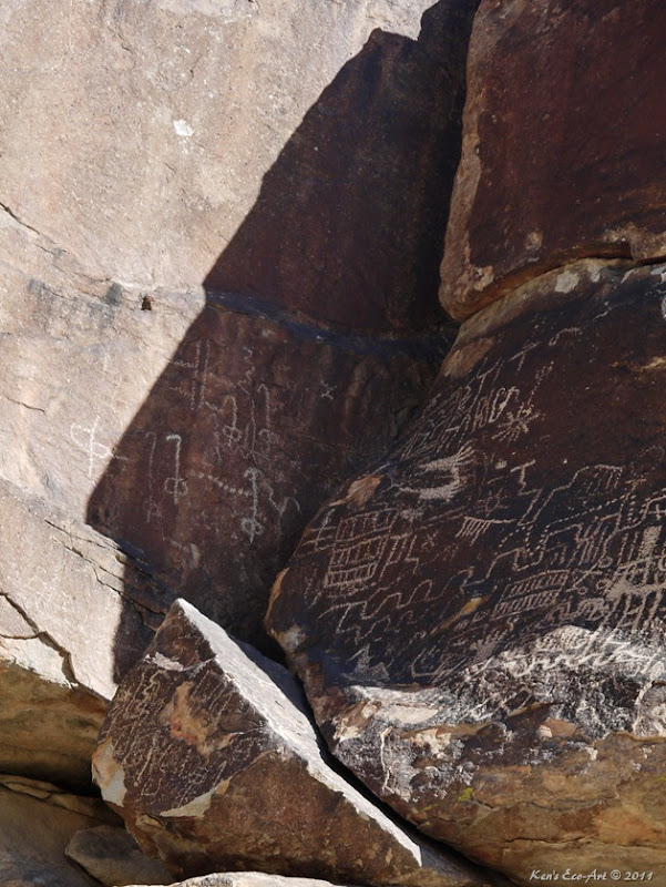
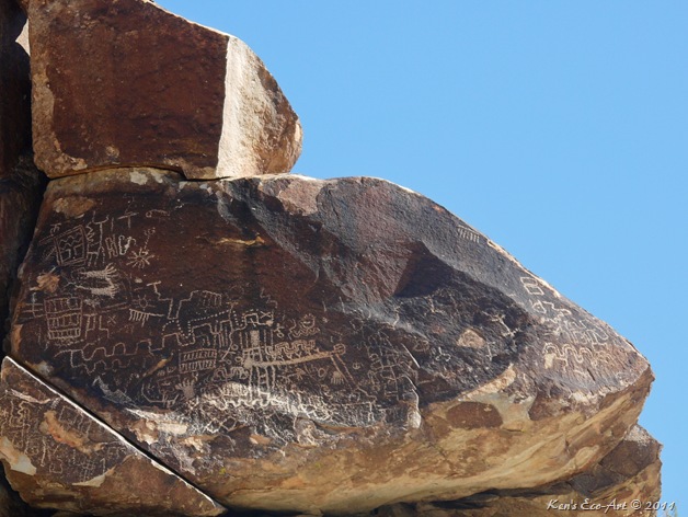
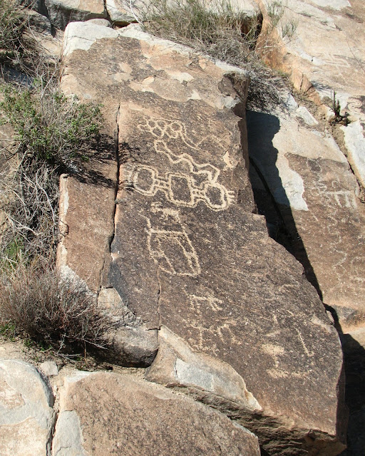
Grapevine Canyon is the biggest petroglyph site in southern Nevada. As at other Colorado River locales, representational or figurative motifs are rare at the site; they are heavily outnumbered by geometric designs, many of which are deeply and widely engraved, that defy interpretation. The depth and width of these engravings reflect the fact that Yuman petroglyphs were possibly studied and examined by other tribes and sometimes repecked by them. Still, considerable variation in the degree of revarnishing is evident at the site, indicating that Yuman shamans used this locale probably for many thousands of years. Recent accounts, on the other end of the time scale, tell us that it continued to be used into this century. | ||||
| ||||
Many who have studied these engravings question whether these more recognizable motifs represent Yuman Petroglyphs or instead were created by non-Yuman shamans. Because Spirit Mountain is sacred to the Native American tribes in this region, it was widely renowned as a place of great supernatural power. It is entirely possible that shamans from different cultures came here for their own types of vision quests, adding their own unique engravings.
|
The Peacocks of Floyd Lamb Park at Tule Springs
{Click on an image to enlarge, then use the back button to return to this page}
This page last updated on 05/11/2019
|
Red Spring & Calico Basin Petroglyphs (Summary Page)
{Click on an image to enlarge, then use the back button to return to this page}
This page last updated on 10/11/2017
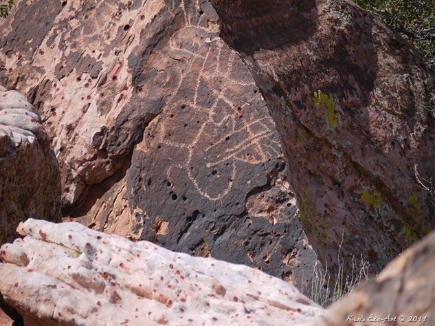 |
The first two photos were taken on 03/13/2011 on a follow-up visit to Red Springs in the Calico Basin of Red Rock Canyon. It is very difficult to interpret what the symbols in the petroglyph represent. If you have any ideas, email me at kccandcj@yahoo.com |
| Area Description: Many hundreds, if not thousands, of years ago, native Americans used a symbol-based form of writing. Some of these symbols were used to convey messages to others passing thru at a later time; Some symbols were used to record events important to the tribe's history. The first humans were attracted to the Red Rock area due to its resources of water, plant and animal life that could not be easily found in the surrounding desert. This made the Red Rock Canyon area very attractive to hunters and gatherers such as the historical Southern Paiute and the much older Archaic, or Desert Culture Native Americans. As many as six different Native American cultures may have been present at Red Rock over the millennia. The following chronology is an approximation: Southern Paiute 900 to modern times; Patayan Culture 900 to early historic times in the 1800’s; Anasazi 1 AD to 1150; Pinto/Gypsum (Archaic) 3500 BC to 1 AD; San Dieguito 7000 to 5500 BC; Paleo-Indians (Tule Springs) 11,000 to 8000 BC. Numerous petroglyphs as well as pottery fragments remain today throughout the area. In addition, several roasting pits used by the early Native Americans have provided further evidence of human activity in the past at Red Rock. |
| Petroglyph Description: These types of symbols fall into two main categories: Pictograph or Petroglyph. Symbols which are painted on a rock are pictographs. Thanks to the desert heat and lack of moisture, many examples of pictographs can still be seen and admired today. Petroglyphs (also called rock engravings) are pictogram and logogram images created by using a small stone to carve or scratch the rock surface by incising, picking, carving, and abrading. Outside North America, scholars often use terms such as "carving", "engraving", or other descriptions of the technique to refer to such images. Petroglyphs are found world-wide, and are often (but not always) associated with prehistoric peoples. The word comes from the Greek words petros meaning "stone" and glyphein meaning "to carve", and was originally coined in French as pétroglyphe. |
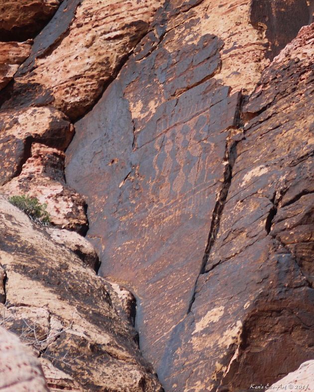 |
| Description: It has been speculated by some that this particular petroglyph is a depiction of a fringed blanket, robe or bag. What does it look like to you? What can be said about this image is that it is located about 70 meters above the valley below, it faces E-SE, is uses a break in the rock to demark a boundary, it was created using a hammer-stone and a pebble type chisel, and it is not part of a 'panel'. |
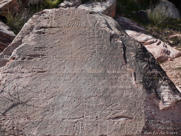 |
This photo was taken on 03/3/2011 on a visit to Red Springs in the Calico Basin of Red Rock Canyon. Again, it is very difficult to decipher the meaning of the symbols in this petroglyph which was located just outside the fenced walkway on the SW side of the meadow. If you have any ideas, email me at kccandcj@yahoo.com |
Red Spring – The Source
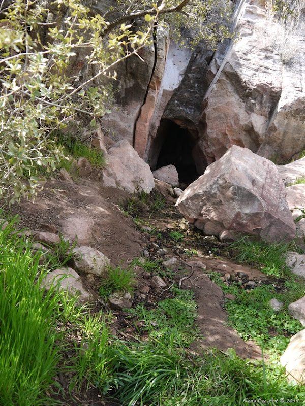 |
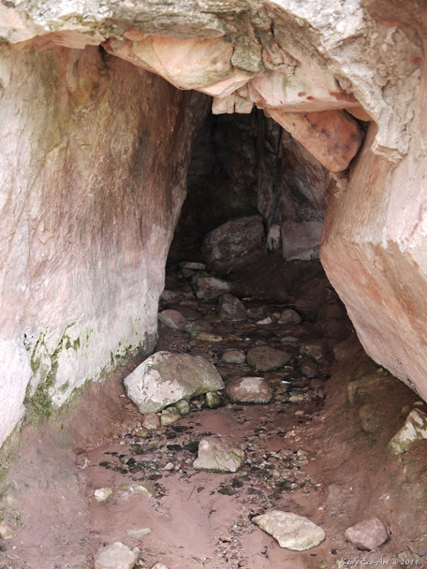
The picture above looks into the mouth of the cave-like entrance of Red Spring at the base of the Calico Mountains. Even though we are in the third year of a drought, this spring still provides a small, but steady stream of water. The close-up of the opening, shown below, makes one wonder how much water flowed out of the mountain during much ‘wetter’ seasons hundreds of years ago. |
 |
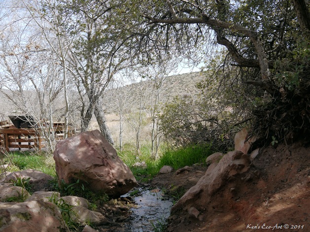 |
The above view was taken by standing inside the cave opening looking northeast towards the meadow that is supplied by the spring. |
The Answer - Reeds
While shooting some pictures of blue herrings at one of the ponds I noticed these beautiful reflections that the reeds were making in the water.
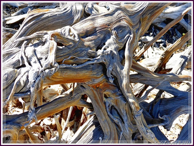
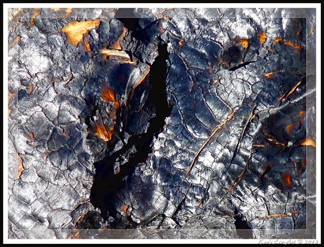
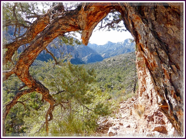
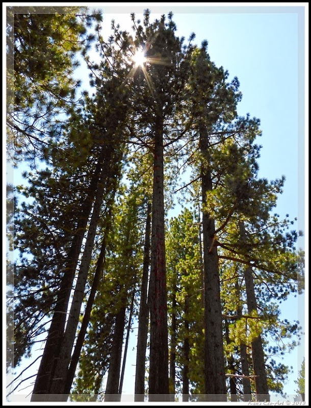
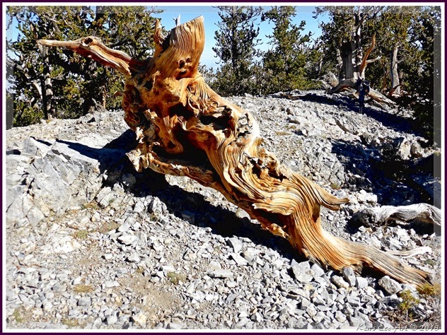
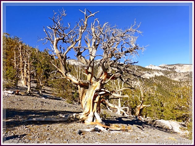
06 - Trees and Other Wood Textures (Con’t)
 | ||||||||||||||||
 | ||||||||||||||||
| Learn more about this Daytrip/Hike: Raintree & Mummy Spring North Loop Trail | ||||||||||||||||
 | ||||||||||||||||
 | ||||||||||||||||
Learn more about this Daytrip/Hike: Raintree & Mummy Spring North Loop Trail
| ||||||||||||||||
|
Subscribe to:
Posts (Atom)


