{Click on any image to view full size, then use the back button on your browser to return to this page}
This page last updated on 04/17/2018
 |
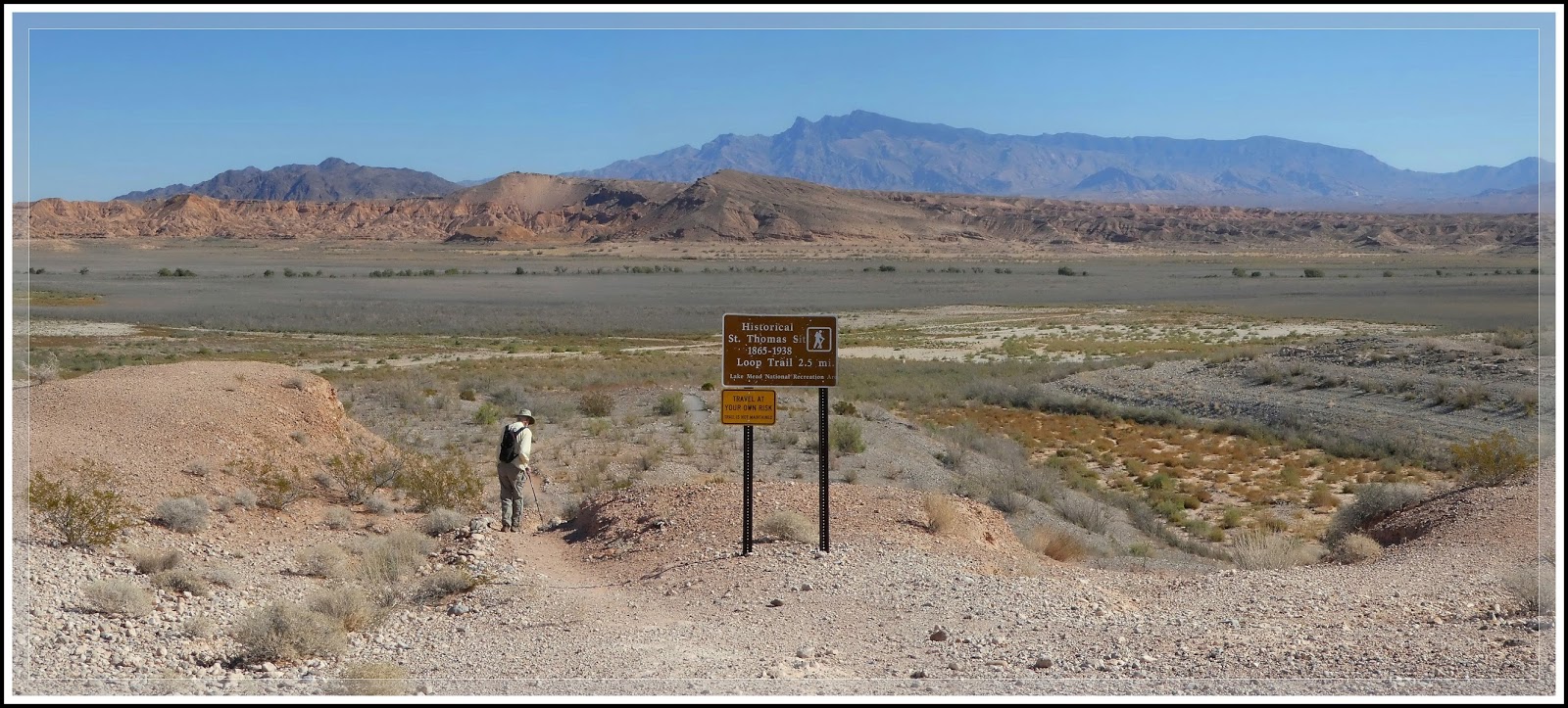
| (Fig. 01) |
 |
| (Fig. 02) |
Directions: St. Thomas is located approximately 82 miles NE of Las Vegas. From the Stratosphere Casino head northeast on Las Vegas Blvd about 3 miles and turn right to merge onto US-93/95. Go 12.5 miles and Merge onto NV-564 E/W Lake Mead Pkwy via Exit 61B. Heading east on NV-564 (Lake Mead Blvd) go over the mountains (passing between Frenchman Mountain to the south and Sunrise Mountain to the north) to the park entrance station. Pay the entrance fee ($5 per car or an annual pass), and proceed to the T-intersection with Northshore Road (NV Rt 167) and Lakeshore Road (NV Rt 166). Bear left and drive north on Northshore Road (NV 167) towards Overton, NV. Turn right opposite the Valley of Fire Road onto Old St. Thomas Road and travel 3.3 miles to the parking area and trailhead at the end. Though this road was wash out back in May of 2016, it has since been "regraded" and can be reached without a high clearance vehicle.
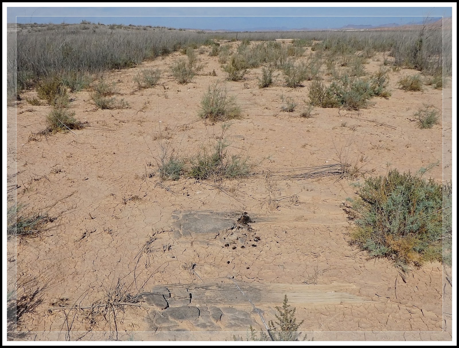
General Description: St. Thomas, Nevada, elevation 1,204 feet, is a ghost town in Clark County, Nevada, in Mopa Valley near where the Muddy River flows into the Colorado River (Fig. 02). I have hiked this location on four occasions. From the parking and trailhead (Fig. 01), it is a moderate 2.5 to 3 mile hike to the shoreline, out and back hike. Do not wander too far off the trail or you may get stuck in the mucky sediment that used to be underwater. In addition, the town site has been over-run with an invasive plant species called Tamarisk. You must be careful not to walk on the stumps of the Tamarisk. These hardy plants are both a nuisance and a potential safety hazard. The branches and leaves can produce cuts and bruising, while the trunks are very hardy and when cut to a stub (Fig. 04) can puncture the soles of your shoes. The is a vault toilet near the trailhead.
St. Thomas was purchased by the US Federal Government and was finally abandoned as the waters of Lake Mead, created by the building of the Hoover Dam, submerged the town. It is now located within the Lake Mead National Recreation Area. The fluctuations of the lake water levels resulting from a series of droughts, St. Thomas has arisen from the depths several times since 1938; in 1945, 1963, and 2012. Today the town is still exposed and visitors can roam the roads and trails that were once a thriving wild west town. The map in (Fig. 03) is a pre-flooding reconstruction of St. Thomas. The path we hiked of our recent 10/13/2016 visit is shown in yellow.
 |
| (Fig. 03) |
 |
| (Fig.04) |
10/13/2016 Trip Notes: Today I visited St. Thomas for the fourth time, this time with my friends Jim Herring and Blake Smith. As a result, I didn't take very many pictures, however, I did hike to a section of town that I had not visited before.
Click here for pictures and info on today’s visit … St. Thomas - 10/13/2016 Trip Notes .
| 01/16/2014 Trip Notes: This was my third visit to this ghost town with the rock-hounds from Henderson’s Heritage Park Senior Facility. On this visit I was armed with a better map showing the layout for many of the towns more prominent buildings. As a result I was better able to identify more of the exposed foundation remains. Though it is very difficult to be 100% sure about the following foundation/building identifications - I have made them by judging their relationship on the map to various foundations that I am sure of. Click here for pictures and info on today’s visit … St. Thomas 01/16/2014 Trip Notes. |
04/05/2012 Trip Notes: This was my second visit to this town in four months. This three-mile hike provides the perfect opportunity to stroll walk back in time and use your imagination to envision what life was like before the waters of Lake Mead covered this small farming and railroad community; of days when schoolboys climbed the fruit trees and its fields were filled with orchards and grains. Though I had been hopeful that I would be able to capture some budding plants and flowers, it was still too early in the spring. I did however, locate a few major foundations that I had missed on my previous visit here. Click here for pictures and info on today's visit ... St Thomas - 04/05/2012 Trip Notes.
12/15/2011 Trip Notes: This was one of the more interesting places we visited all year. Out of curiosity I decided to do some additional research on the town's history so as to add more meaning to the pictures that I captured on today's hike. Click here for pictures and info on today's visit ... St. Thomas - 12/15/2011 - Trip Notes.