
Even though it was a cloudy, cold, dismal day with the threat of rain, the rock-hounds from Henderson's Heritage Park Senior Center still headed out to Sandy Valley Road in search of desert treasure. Check the
10/10/2013 Trip Notes section below for pictures and info.
{Click on any image to view full size, then use the back button on your browser to return to this page}
 |
| (Fig. 01) |
|
 |
 |
| (Fig. 02) |
|
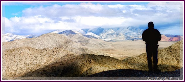
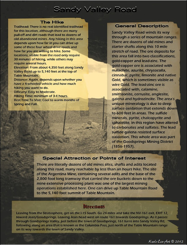
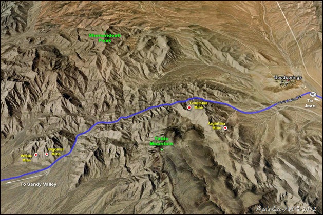
Description of Sandy Valley Road: I have always had trouble associating all of my to this area by just using the name of a road e.g. Sandy Valley Road. To complicate this even further, describing the area as being the Goodsprings Mining District is also limiting due to the fact that the Goodsprings Mining District encompasses more than 100 square miles with no real identified boundary. As you can see from the map in (Fig. 02), Sandy Valley Road winds its way through a series of mountain ranges. As it leaves NV-161 and heads west to the town of Sandy Valley, Sandy Valley Road follows along an area that is known as the Columbia Pass, between the southern end of the Spring Mountain range to the north and the Table Mountain range to the south. There are literally dozens of old mines, adits and starter shafts along this 10 mile stretch of road, including the Argentina, Hermosa, Bill Nye, and Hoosier mines to the south; and the Belle, Keystone, Cosmopolitian, Shenandoah, Mobile, Whale and Smithsonite mines to the north, just to name a few. When creating my page on the Goodsprings Mining District, I end up placing mines on the north and south side of the road into two separate sections of the district. Click here to learn more about ... Goodsprings Mining District. Between visits here with the rock-hounds from Henderson’s Heritage Park’s Senior Facility and three four-wheeling visits with Harvey Smith, I have explored just about every location worth visiting. For pictures and information of these visits, check out the links below.
|
 |
| (Fig. 03) |
|
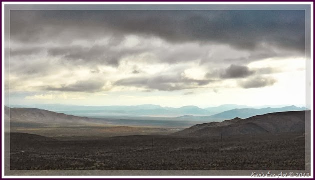
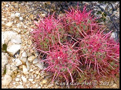
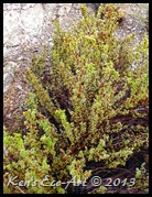
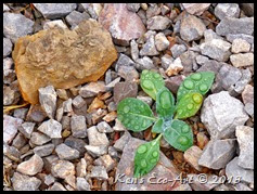
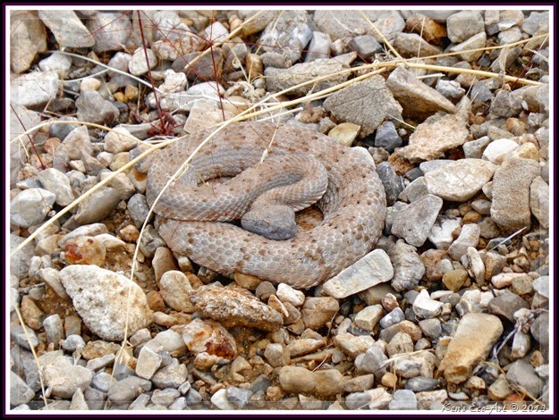
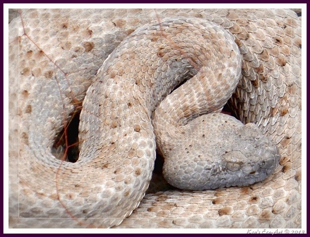
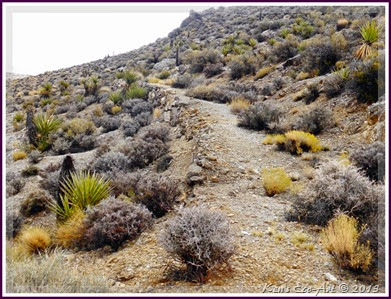
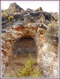
 10/10/2013 Trip Notes: Because it was such a cloudy, cold, dismal day (Fig. 03), I didn’t do as much hiking or picture taking on this visit as I normally do. As the van made its customary stops at the Argentena Mill site, Columbia Mine, Whale Mine, etc. Buster and I scoured the surrounding areas looking for fossils, ore samples and other points of interest. In addition to a few colorful plants (Figs. 04-06), finding some Malachite and a few rocks with some imbedded sea fossils, our biggest “find of the day” was at our last stop near the Ingomar Mine site. While walking across the desert looking for fossils, Buster, my hiking partner nearly stepped on a Mohave Desert Sidewinder (Figs. 07 & 08). Imagine out shock and surprise! It was so cold out, that we weren’t even thinking rattlesnake. Click the following link to read more about this poisonous little fella … Sidewinder Rattlesnake (Crotalus cerastes. We also discovered a new road (Fig. 09) that we had never seen before. Unfortunately, it only led us to a rather small, disappointing adit (Fig. 10). 10/10/2013 Trip Notes: Because it was such a cloudy, cold, dismal day (Fig. 03), I didn’t do as much hiking or picture taking on this visit as I normally do. As the van made its customary stops at the Argentena Mill site, Columbia Mine, Whale Mine, etc. Buster and I scoured the surrounding areas looking for fossils, ore samples and other points of interest. In addition to a few colorful plants (Figs. 04-06), finding some Malachite and a few rocks with some imbedded sea fossils, our biggest “find of the day” was at our last stop near the Ingomar Mine site. While walking across the desert looking for fossils, Buster, my hiking partner nearly stepped on a Mohave Desert Sidewinder (Figs. 07 & 08). Imagine out shock and surprise! It was so cold out, that we weren’t even thinking rattlesnake. Click the following link to read more about this poisonous little fella … Sidewinder Rattlesnake (Crotalus cerastes. We also discovered a new road (Fig. 09) that we had never seen before. Unfortunately, it only led us to a rather small, disappointing adit (Fig. 10).
|
 |
| (Fig. 04) |
|
 |
| (Fig. 05) |
|
 |
| (Fig. 06) |
|
|
 |
| (Fig. 07) |
|
 |
| (Fig. 08) |
|
 |
| (Fig. 09) |
|
 |
| (Fig. 10) |
|
|
|
|
11/27/2012 Trip Notes: I went back for another hike along Sandy Valley Road in search of the Argentina Mine with my friend Harvey Smith. This was the third time this year that I visited this area. Click on the Argentina Mine and Table Mountain links below to view pictures and read about our explorations on this recent visit.
|
|
11/08/2012 Trip Notes: I went back for another hike along Sandy Valley Road with the rock-hounds from the Henderson Heritage Park Senior Facility. This was the second time I have visited this area in the past year. Click on the Columbia Mine, Whale Mine and Ingomar Mine links below to view pictures and read about our explorations on this visit. In addition, because this page kind of acts as a summary of all our hikes in this area, I have placed a slideshow at the bottom of the page that includes all of the pictures that I have taken during my three visits here.
|
|
|
|
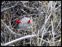
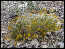
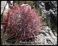
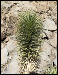
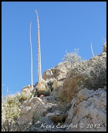
| As you can see in (Figs. 11 through 16), many of the washes and hillsides that we have hiked in search of mines are covered with variety of cacti and desert flora. I believe that the cactus in (Fig. 02 - click to enlarge) is a Desert Spinystar (Escobaria vivipara var. deserti), a small, round cactus that is usually 3" x 2" inches or smaller). (Fig. 17) shows some of the malachite ore samples I collected while hiking around the Columbia Mine. |
 |
| (Fig. 11) |
|
 |
| (Fig. 12) |
|
 |
| (Fig. 13) |
|
 |
| (Fig. 14) |
|
 |
| (Fig. 15) |
|
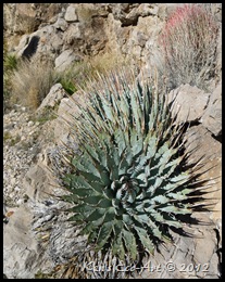 |
| (Fig. 16) |
|
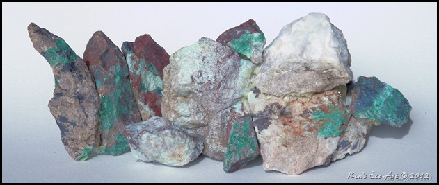 |
| (Fig. 17) |
|
The slideshow below is designed to run automatically in place. Clicking anywhere in the black background area that surrounds the picture being shown will PAUSE the show and bring up the Pause, Forward and Back menu at the bottom of the slideshow window, allowing you to start, stop or manually forward pictures one at a time.
To view the slideshow full-screen, click in the middle of the running show. When the new browser window appears, click on the left side of the menu where it says "slideshow".


