{Click on an image to enlarge, then use the back button to return to this page}
This page last updated on 01/09/2018
 |
| (Fig. 01) |
|
 |
| (Fig. 02) |
|
|
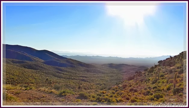
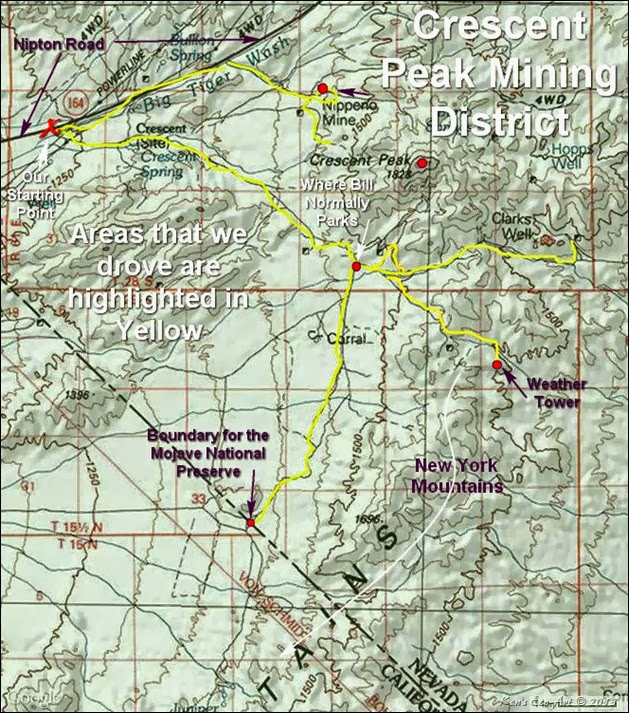
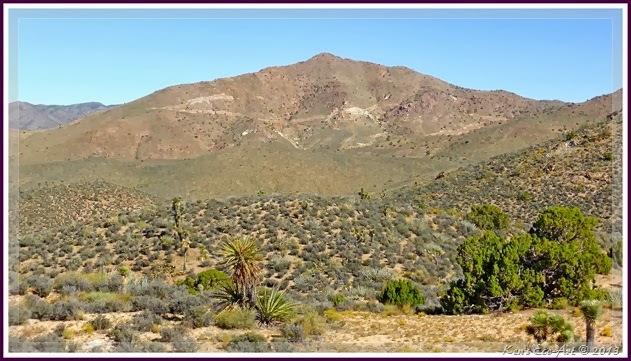
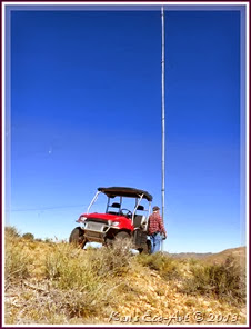
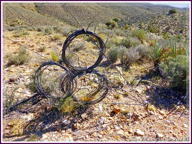
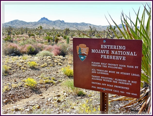
| 09/30/2013 Trip Notes: After unloading the Ranger at the mouth of Crescent Peak Road, Harvey and I headed up the road towards the Crescent Peak Mine; with the intended goal of circumventing the active mining operation and reaching the trails going up the south ridge of Crescent Peak (Fig. 03) on the northern tip of the New York Mountain range. Unfortunately, as we rounded a bend in the road just after Clarks Well (Fig. 02), that overlooked Piute Valley (Fig. 01) above, we started up a mountainside road that was so washed out that it became impassible, causing us to abandon our goal of reaching Crescent Peak. After retracing our steps to this point, we took another dirt road that headed south east to a weather tower (Figs. 04 & 05) that stood atop a distant ridge high in the New York Mountains (Fig. 02). After enjoying the views from here, we again drove back to where Bill normally parks and headed out on the dirt road that runs south across the Ivanpah Valley, aiming for the jagged Castle Peaks in the New York Mountain range as seen in (Fig. 06). After driving a considerable distance, we were unable to find a road leading to the ‘peaks” where we wanted to go and ended up on the California boarder at the beginning of the Mojave National Preserve. From here we made out third turnaround and drove all the way back to our original starting point at the beginning of Crescent Peak Mine Road. |
 |
| (Fig. 03) |
|
 |
| (Fig. 04) |
|
 |
| (Fig. 05) |
|
|
 |
| (Fig. 06) |
|
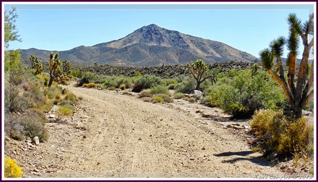
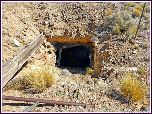
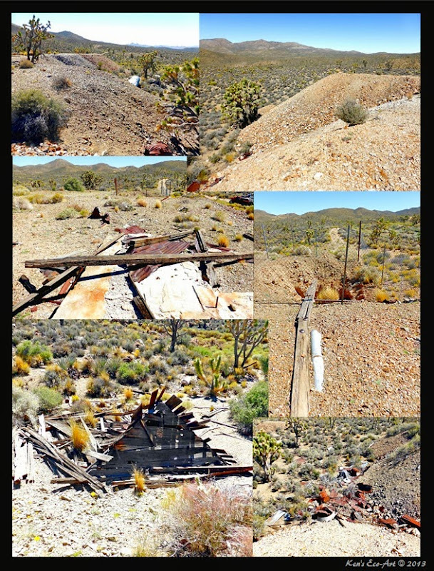
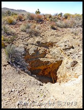
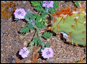
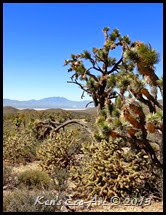
| We then drove up Big Tiger Wash (Fig. 02), following Nipton Road to the east until we reached a 4WD road that lead southeast out of the wash towards a large valley that faced the northwest side of Crescent Peak (Fig. 07). After coming to a three-way fork, we bypassed several signs that read “Private – Keep Out”, and took the middle road that lead to the Nippeno Mine site (Fig. 02), one of the oldest and largest mines in the area. Circa January 1, 1900, Samuel D. Karns and some associates staked the earliest gold claim in the Crescent District, giving it the name Nippeno. Later followed by adjacent claims Susquehana, Cumberland, Northhumberland, Pennsylvania, &Osceola, that taken together became known as the Nippeno Consolidated Mine. The mining camp associated with the mine was known as Nippeno Camp, which was located nearby the wagon crossroad, which late became the town of Nipton. Besides its deep main shaft (Fig. 08), now encased by fencing for safety reasons, there are nearly a half dozen shafts and prospects located in this general area. As you can see from pictures found in the collage (Fig. 09), all taken around the main shaft; the six large tailings’piles, miscellaneous debris, hoist footings, and collapsed buildings, all indicate that this was a very large operation. Due to its apparent scope, it has been surprising to me that I have been unable to locate any detailed descriptions about its operation. Even though we spent considerable time hiking around and exploring this area (Figs. 10-12), road barriers such at that found in (Fig. 13) prevented us from doing more. After one final look towards Ivanpah Valley (Fig. 14), we finally began the drive back to our original starting point, whereupon we loaded up the Ranger and drove to Nipton for lunch. |
 |
| (Fig. 07) |
|
 |
| (Fig. 08) |
|
 |
| (Fig. 09) |
|
 |
| (Fig. 10) |
|
 |
| (Fig. 11) |
|
 |
| (Fig. 12) |
|
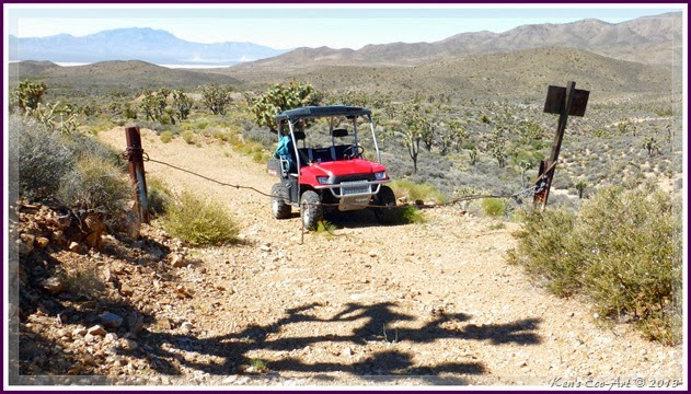 |
| (Fig. 13) |
|
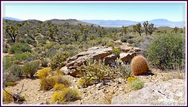 |
| (Fig. 14) |
|